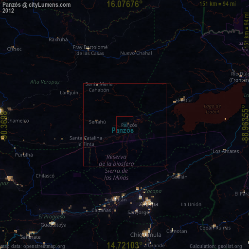
Panzós night lights from space
Night Light of Panzós (Alta Verapaz) from space (Guatemala) Src. Average luminocity for 10x10km area is 0.4004% and for 50x50km: 0.0567%.
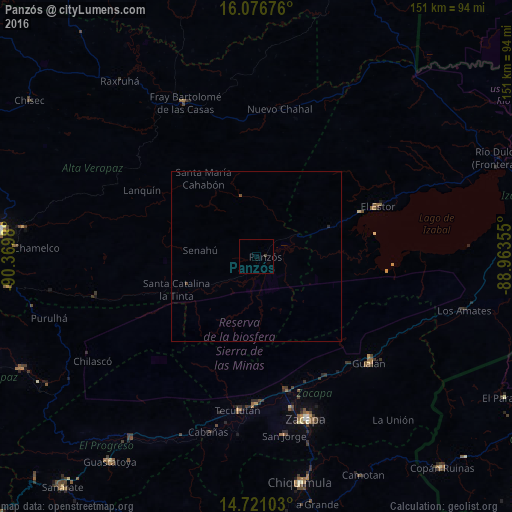
Analysis of Panzós night lights 2016
Square area 10x10 km:
 0%
0%90-99
0%80-89
0%70-79
0%60-69
0%50-59
0%40-49
0.43%30-39
0.43%20-29
0%10-19
0%0-9
99.13%Square area 50x50 km:
0%90-99
0%80-89
0%70-79
0%60-69
0%50-59
0%40-49
0.08%30-39
0.02%20-29
0.03%10-19
0%0-9
99.87%Clear (daylight) street map image can be seen on geolist.org.
Map coordinates:
16° 4' 36.3" North, 90° 22' 11.3" West
15° 24' 0" North, 89° 40' 0" West
14° 43' 15.7" North, 88° 57' 48.8" West
Some cities around Panzós sort by population:
• Zacapa
49.8 km =30.9 mi,  162°
162°
• Gualán
45.5 km =28.3 mi,  133°
133°
• El Estor
38.8 km =24.1 mi,  67°
67°
• Estanzuela
45.8 km =28.5 mi,  166°
166°
• Chahal Guatemala
44 km =27.3 mi,  8°
8°
• Teculután
46.6 km =29 mi,  186°
186°
• Río Hondo
38.1 km =23.7 mi, 166°
• Senahú
17.9 km =11.1 mi,  270°
270°
3591676 (p: 25,569)
Sources (retrieved 2019-11-25):
» Earth at Night: Flat Maps 2012, 2016