Pýrgos night lights from space
Night Light of Pýrgos (West Greece) from space (Greece) Src. Average luminocity for 10x10km area is 31.4847% and for 50x50km: 6.1519%.
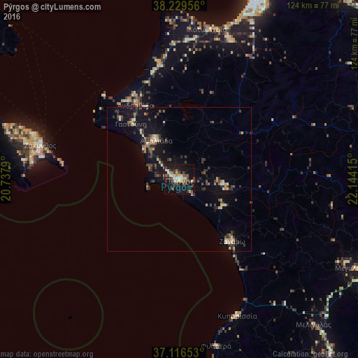
Analysis of Pýrgos night lights 2016
Square area 10x10 km:
 2.38%
2.38%90-99
5.95%80-89
3.57%70-79
3.74%60-69
3.4%50-59
5.1%40-49
6.12%30-39
6.12%20-29
4.59%10-19
41.16%0-9
17.86%Square area 50x50 km:
0.24%90-99
0.8%80-89
0.57%70-79
0.71%60-69
0.65%50-59
0.74%40-49
1.07%30-39
1.99%20-29
1.06%10-19
6.58%0-9
85.59%Clear (daylight) street map image can be seen on geolist.org.
Map coordinates:
38° 13' 46.4" North, 20° 44' 16.4" East
37° 40' 30.5" North, 21° 26' 27.7" East
37° 6' 59.5" North, 22° 8' 38.9" East
Some cities around Pýrgos sort by population:
• Amaliáda
15.8 km =9.8 mi,  329°
329°
• Zakynthos
49.4 km =30.7 mi,  283°
283°
• Gastoúni
25.7 km =16 mi,  319°
319°
• Filiatrá
59.1 km =36.7 mi,  167°
167°
• Zacháro
28.2 km =17.5 mi,  139°
139°
• Ovriá
62.4 km =38.8 mi,  23°
23°
• Káto Achaḯa
53.7 km =33.4 mi,  10°
10°
• Kyparissía
51.4 km =31.9 mi,  156°
156°
255229 (p: 22,399)
Sources (retrieved 2019-11-25):
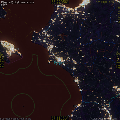
» Earth at Night: Flat Maps 2012, 2016