Mégara night lights from space
Night Light of Mégara (Attica) from space (Greece) Src. Average luminocity for 10x10km area is 32.5% and for 50x50km: 15.5159%.
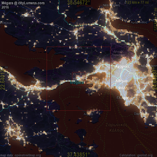
Analysis of Mégara night lights 2016
Square area 10x10 km:
 3.25%
3.25%90-99
5.19%80-89
2.44%70-79
5.19%60-69
7.95%50-59
2.6%40-49
2.27%30-39
8.44%20-29
6.82%10-19
37.01%0-9
18.83%Square area 50x50 km:
2.09%90-99
3.03%80-89
1.5%70-79
2.29%60-69
2.87%50-59
1.44%40-49
2.1%30-39
3.26%20-29
3.65%10-19
7.05%0-9
70.71%Clear (daylight) street map image can be seen on geolist.org.
Map coordinates:
38° 32' 48.2" North, 22° 38' 24.4" East
37° 59' 41" North, 23° 20' 35.7" East
37° 26' 18.6" North, 24° 2' 46.9" East
Some cities around Mégara sort by population:
• Keratsíni
24.5 km =15.2 mi,  98°
98°
• Asprópyrgos
22.8 km =14.2 mi,  71°
71°
• Pérama
20.3 km =12.6 mi, 98°
• Salamína
13.9 km =8.6 mi, 104°
• Elefsína
18.2 km =11.3 mi, 73°
• Drapetsóna
25 km =15.5 mi, 101°
• Mándra
15.9 km =9.9 mi,  59°
59°
• Néa Péramos
7.2 km =4.5 mi,  79°
79°
257365 (p: 23,456)
Sources (retrieved 2019-11-25):
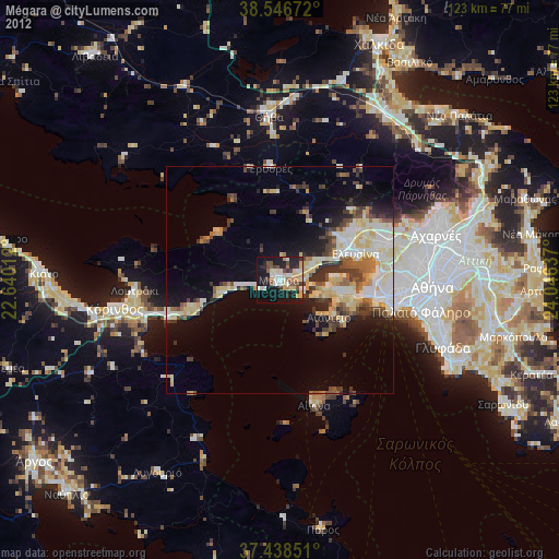
» Earth at Night: Flat Maps 2012, 2016