Salamína night lights from space
Night Light of Salamína (Attica) from space (Greece) Src. Average luminocity for 10x10km area is 55.1721% and for 50x50km: 28.6504%.
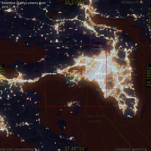
Analysis of Salamína night lights 2016
Square area 10x10 km:
 1.79%
1.79%90-99
5.03%80-89
7.95%70-79
11.04%60-69
23.54%50-59
7.31%40-49
11.85%30-39
15.42%20-29
14.45%10-19
1.62%0-9
0%Square area 50x50 km:
9.78%90-99
6.23%80-89
2.27%70-79
2.94%60-69
3.31%50-59
1.76%40-49
2.76%30-39
3.54%20-29
5.25%10-19
7.96%0-9
54.19%Clear (daylight) street map image can be seen on geolist.org.
Map coordinates:
38° 30' 59.4" North, 22° 47' 36.1" East
37° 57' 51.4" North, 23° 29' 47.4" East
37° 24' 28.2" North, 24° 11' 58.6" East
Some cities around Salamína sort by population:
• Piraeus
13.4 km =8.3 mi,  100°
100°
• Keratsíni
10.8 km =6.7 mi,  91°
91°
• Korydallós
13.4 km =8.3 mi,  80°
80°
• Pérama
6.6 km =4.1 mi, 86°
• Elefsína
9.5 km =5.9 mi,  25°
25°
• Drapetsóna
11.2 km =7 mi, 98°
• Mándra
11.4 km =7.1 mi,  1°
1°
• Néa Péramos
7.9 km =4.9 mi,  306°
306°
254144 (p: 25,370)
Sources (retrieved 2019-11-25):
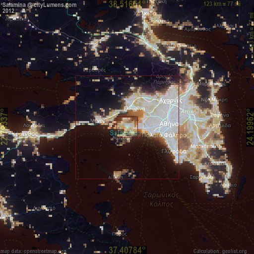
» Earth at Night: Flat Maps 2012, 2016