Lamía night lights from space
Night Light of Lamía (Central Greece) from space (Greece) Src. Average luminocity for 10x10km area is 51.7551% and for 50x50km: 7.284%.
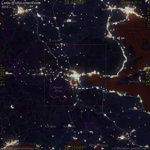
Analysis of Lamía night lights 2016
Square area 10x10 km:
 11.22%
90-99
13.44%80-89
6.46%70-79
4.59%60-69
3.4%50-59
3.23%40-49
6.12%30-39
9.35%20-29
27.21%10-19
14.97%0-9
0%Square area 50x50 km:
0.66%90-99
1.42%80-89
0.77%70-79
0.78%60-69
0.89%50-59
0.72%40-49
0.86%30-39
1.25%20-29
2.04%10-19
5.18%0-9
85.43%Clear (daylight) street map image can be seen on geolist.org.
Map coordinates:
39° 26' 42.3" North, 21° 43' 48.8" East
38° 54' 0" North, 22° 25' 60" East
38° 21' 2.5" North, 23° 8' 11.3" East
Some cities around Lamía sort by population:
• Volos
67.5 km =41.9 mi,  40°
40°
• Livadeiá
64.4 km =40 mi,  143°
143°
• Fársala
44.1 km =27.4 mi,  354°
354°
• Almyrós
42.2 km =26.2 mi, 41°
• Karpenísi
55 km =34.2 mi,  271°
271°
• Ámfissa
41.6 km =25.8 mi,  186°
186°
• Orchomenós
65.5 km =40.7 mi,  133°
133°
• Néa Anchiálos
53.8 km =33.4 mi, 38°
258620 (p: 52,006)
Sources (retrieved 2019-11-25):
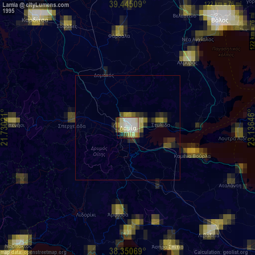
» NASA, Earths city lights 1995
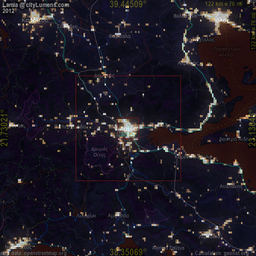
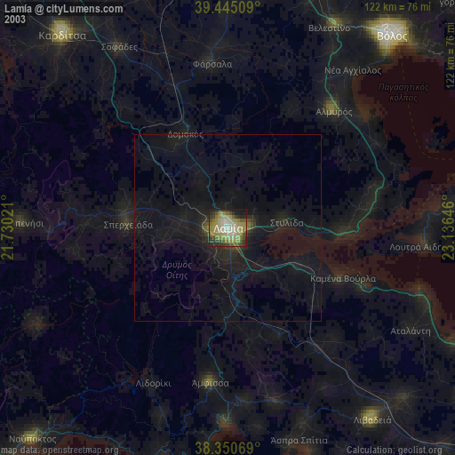
» NASA city lights 2003
» Earth at Night: Flat Maps 2012, 2016