Volos night lights from space
Night Light of Volos (Thessaly) from space (Greece) Src. Average luminocity for 10x10km area is 56.6122% and for 50x50km: 8.1501%.
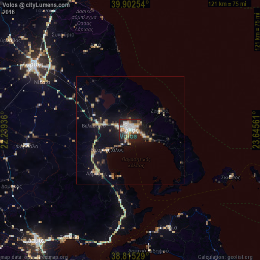
Analysis of Volos night lights 2016
Square area 10x10 km:
 11.05%
90-99
19.56%80-89
2.89%70-79
6.46%60-69
8.5%50-59
2.89%40-49
4.93%30-39
5.95%20-29
28.23%10-19
9.52%0-9
0%Square area 50x50 km:
0.51%90-99
1.58%80-89
0.97%70-79
0.93%60-69
1.3%50-59
0.68%40-49
0.74%30-39
1.19%20-29
2.23%10-19
7.66%0-9
82.2%Clear (daylight) street map image can be seen on geolist.org.
Map coordinates:
39° 54' 9.1" North, 22° 14' 21.7" East
39° 21' 39.7" North, 22° 56' 32.9" East
38° 48' 55" North, 23° 38' 44.2" East
Some cities around Volos sort by population:
• Lárisa
54.5 km =33.9 mi,  304°
304°
• Néa Ionía
2.4 km =1.5 mi,  327°
327°
• Fársala
48.5 km =30.1 mi,  261°
261°
• Almyrós
25.4 km =15.8 mi,  218°
218°
• Giánnouli
57.9 km =36 mi,  305°
305°
• Néa Anchiálos
14 km =8.7 mi,  229°
229°
• Agriá
6.4 km =4 mi,  110°
110°
• Skiáthos
52.1 km =32.4 mi,  115°
115°
251833 (p: 86,048)
Sources (retrieved 2019-11-25):
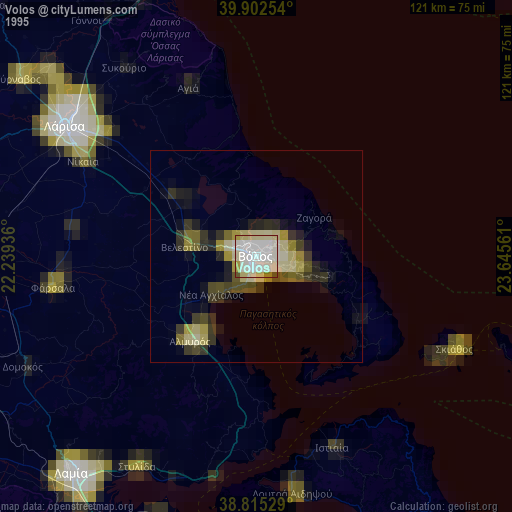
» NASA, Earths city lights 1995
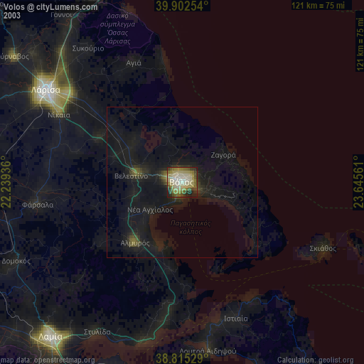
» NASA city lights 2003
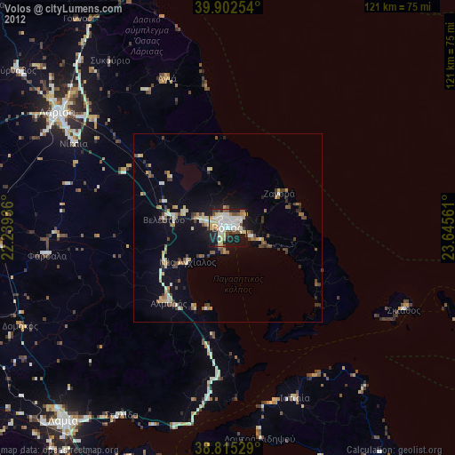
» Earth at Night: Flat Maps 2012, 2016