Kárystos night lights from space
Night Light of Kárystos (Central Greece) from space (Greece) Src. Average luminocity for 10x10km area is 6.4351% and for 50x50km: 0.409%.
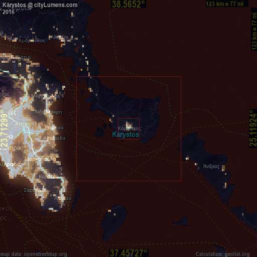
Analysis of Kárystos night lights 2016
Square area 10x10 km:
 0.49%
0.49%90-99
0.81%80-89
0%70-79
2.27%60-69
0.32%50-59
0.65%40-49
1.3%30-39
1.95%20-29
1.62%10-19
1.79%0-9
88.8%Square area 50x50 km:
0.02%90-99
0.03%80-89
0%70-79
0.11%60-69
0.08%50-59
0.05%40-49
0.09%30-39
0.17%20-29
0.08%10-19
0.1%0-9
99.27%Clear (daylight) street map image can be seen on geolist.org.
Map coordinates:
38° 33' 54.7" North, 23° 42' 46.8" East
38° 0' 48" North, 24° 24' 58" East
37° 27' 26.2" North, 25° 7' 9.3" East
Some cities around Kárystos sort by population:
• Artémida
37.1 km =23.1 mi,  262°
262°
• Néa Mákri
39.4 km =24.5 mi,  282°
282°
• Rafína
35.9 km =22.3 mi,  270°
270°
• Limín Mesoyaías
38.7 km =24 mi,  249°
249°
• Markópoulo
44.7 km =27.8 mi, 251°
• Spáta
44.3 km =27.5 mi, 262°
• Keratéa
44.9 km =27.9 mi,  239°
239°
• Marathónas
42.6 km =26.5 mi,  291°
291°
260935 (p: 5,091)
Sources (retrieved 2019-11-25):
» Earth at Night: Flat Maps 2012, 2016