Athens night lights from space
Night Light of Athens (Attica) from space (Greece) Src. Average luminocity for 10x10km area is 99.2403% and for 50x50km: 49.402%.
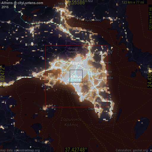
Analysis of Athens night lights 2016
Square area 10x10 km:
 82.14%
90-99
15.91%80-89
0%70-79
1.79%60-69
0.16%50-59
0%40-49
0%30-39
0%20-29
0%10-19
0%0-9
0%Square area 50x50 km:
13.44%90-99
11.12%80-89
5.15%70-79
6.8%60-69
7.5%50-59
4.83%40-49
5.28%30-39
5.68%20-29
10.25%10-19
8.19%0-9
21.76%Clear (daylight) street map image can be seen on geolist.org.
Map coordinates:
38° 32' 9.1" North, 23° 1' 29" East
37° 59' 1.5" North, 23° 43' 40.2" East
37° 25' 38.9" North, 24° 25' 51.5" East
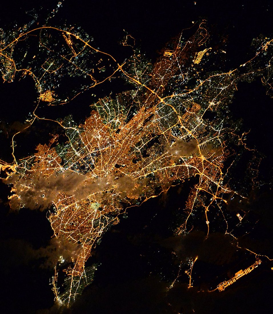
Fantastic image of Athens from space taken by astronauts [src2], but I don't have information about it's orientation, scale or angle. If necessary, it was rotated manually, so North points approximately to upper direction. Click to zoom in:
Some cities around Athens sort by population:
• Zográfos
3.7 km =2.3 mi,  103°
103°
• Aigáleo
3.9 km =2.4 mi,  269°
269°
• Výronas
3.4 km =2.1 mi,  138°
138°
• Galátsi
4.1 km =2.5 mi,  27°
27°
• Kaisarianí
4 km =2.5 mi,  124°
124°
• Dhafní
3.8 km =2.4 mi,  171°
171°
• Távros
3.6 km =2.2 mi,  246°
246°
• Ymittos
3.8 km =2.4 mi,  151°
151°
264371 (p: 664,046)
Sources (retrieved 2019-11-25):
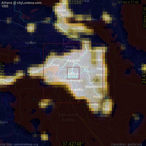
» NASA, Earths city lights 1995
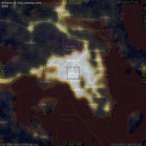
» NASA city lights 2003
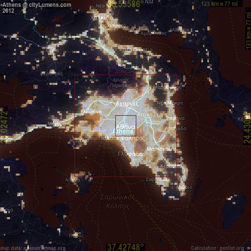
» Earth at Night: Flat Maps 2012, 2016
Src.2: Tim Kopra, Twitter/@astro_tim, 2016-03-25