Takoradi night lights from space
Night Light of Takoradi (Western) from space (Ghana) Src. Average luminocity for 10x10km area is 61.8409% and for 50x50km: 8.5573%.
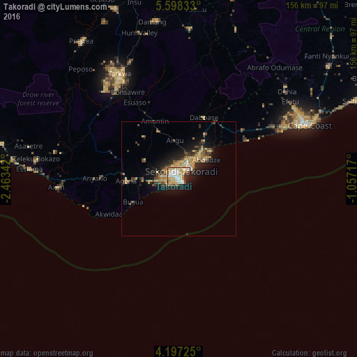
Analysis of Takoradi night lights 2016
Square area 10x10 km:
 10.95%
90-99
14.05%80-89
19.83%70-79
9.3%60-69
7.85%50-59
0.62%40-49
2.07%30-39
5.58%20-29
12.4%10-19
15.08%0-9
2.27%Square area 50x50 km:
0.54%90-99
0.77%80-89
1.99%70-79
1.49%60-69
1.41%50-59
0.67%40-49
1.64%30-39
1.28%20-29
2.64%10-19
5.47%0-9
82.1%Clear (daylight) street map image can be seen on geolist.org.
Map coordinates:
5° 35' 54" North, 2° 27' 48.3" West
4° 53' 53.4" North, 1° 45' 37" West
4° 11' 50.1" North, 1° 3' 25.8" West
Some cities around Takoradi sort by population:
• Cape Coast
61.4 km =38.2 mi,  67°
67°
• Sekondi-Takoradi
3.2 km =2 mi,  5°
5°
• Prestea
73.1 km =45.4 mi,  324°
324°
• Tarkwa
51.8 km =32.2 mi,  330°
330°
• Elmina
49.9 km =31 mi, 65°
• Axim
53.5 km =33.2 mi,  266°
266°
• Shama Junction
17 km =10.6 mi,  38°
38°
• Aboso
55.5 km =34.5 mi,  337°
337°
2294915 (p: 232,919)
Sources (retrieved 2019-11-25):
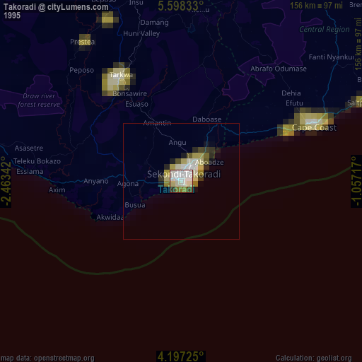
» NASA, Earths city lights 1995
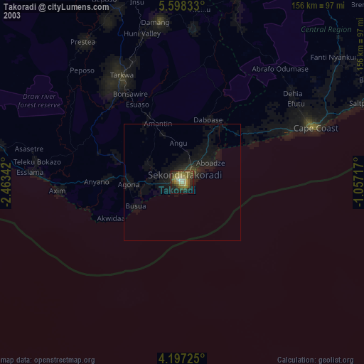
» NASA city lights 2003
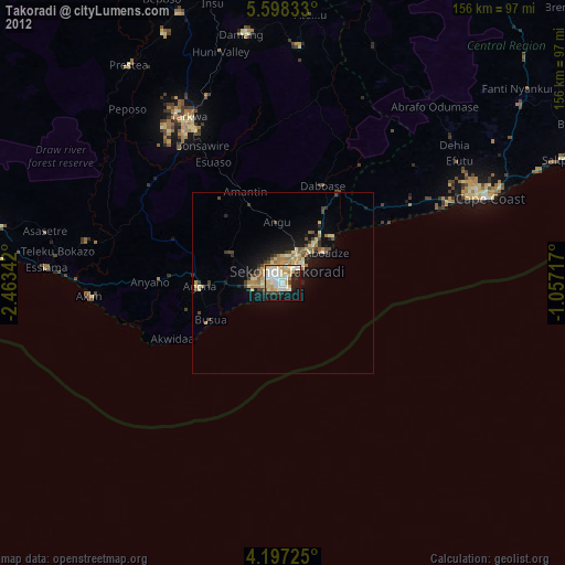
» Earth at Night: Flat Maps 2012, 2016