Welshpool night lights from space
Night Light of Welshpool (Wales) from space (United Kingdom) Src. Average luminocity for 10x10km area is 1.6561% and for 50x50km: 0.5663%.
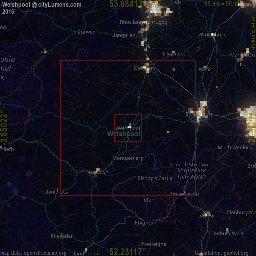
Analysis of Welshpool night lights 2016
Square area 10x10 km:
 0.66%
0.66%90-99
0.4%80-89
0%70-79
0%60-69
0%50-59
0.4%40-49
0.13%30-39
0%20-29
0.53%10-19
0%0-9
97.88%Square area 50x50 km:
0.05%90-99
0.05%80-89
0.04%70-79
0.08%60-69
0.09%50-59
0.11%40-49
0.06%30-39
0.14%20-29
0.15%10-19
0.21%0-9
99.02%Clear (daylight) street map image can be seen on geolist.org.
Map coordinates:
53° 5' 2.9" North, 3° 51' 0.8" West
52° 39' 35" North, 3° 8' 49.6" West
52° 13' 52.2" North, 2° 26' 38.3" West
Some cities around Welshpool sort by population:
• Shrewsbury
27.2 km =16.9 mi,  78°
78°
• Rhosllanerchrugog
39.4 km =24.5 mi,  8°
8°
• Wellington
42.7 km =26.5 mi, 83°
• Oswestry
23.3 km =14.5 mi,  15°
15°
• Newtown
19 km =11.8 mi,  212°
212°
• Ludlow
43.2 km =26.8 mi,  137°
137°
• Wem
36.3 km =22.6 mi,  52°
52°
• Bayston Hill
26.1 km =16.2 mi,  86°
86°
2634560 (p: 5,948)
Sources (retrieved 2019-11-25):
» Earth at Night: Flat Maps 2012, 2016