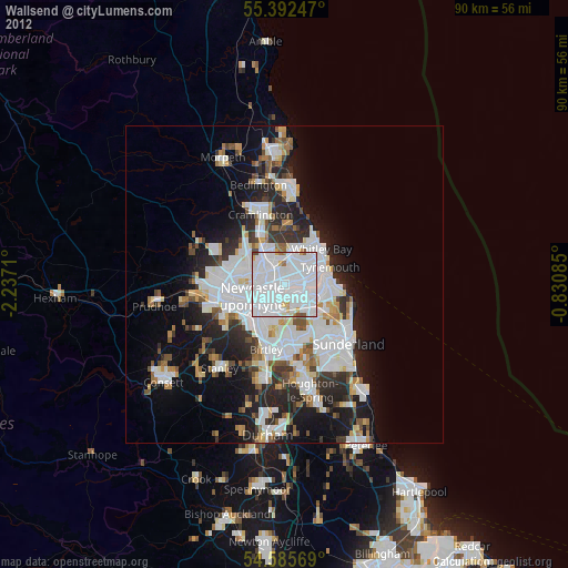
Wallsend night lights from space
Night Light of Wallsend (England) from space (United Kingdom) Src. Average luminocity for 10x10km area is 95.0837% and for 50x50km: 23.8176%.

Analysis of Wallsend night lights 2016
Square area 10x10 km:
 53.23%
90-99
31.1%80-89
7.54%70-79
2.15%60-69
2.99%50-59
1.56%40-49
1.44%30-39
0%20-29
0%10-19
0%0-9
0%Square area 50x50 km:
7.38%90-99
5.25%80-89
1.97%70-79
1.96%60-69
2.18%50-59
2.18%40-49
2.08%30-39
3.87%20-29
6.21%10-19
7.87%0-9
59.05%Clear (daylight) street map image can be seen on geolist.org.
Map coordinates:
55° 23' 32.9" North, 2° 14' 13.6" West
54° 59' 28" North, 1° 32' 2.3" West
54° 35' 8.5" North, 0° 49' 51.1" West
Some cities around Wallsend sort by population:
• Newcastle upon Tyne
5.5 km =3.4 mi,  248°
248°
• South Shields
6.5 km =4 mi,  82°
82°
• Gateshead
5.4 km =3.4 mi,  233°
233°
• North Shields
6.1 km =3.8 mi,  62°
62°
• Felling
4.9 km =3 mi,  209°
209°
• Jarrow
3.4 km =2.1 mi,  110°
110°
• Gosforth
5.4 km =3.4 mi,  280°
280°
• Hebburn
2.3 km =1.4 mi,  149°
149°
2634864 (p: 42,739)
Sources (retrieved 2019-11-25):
» Earth at Night: Flat Maps 2012, 2016