Newcastle upon Tyne night lights from space
Night Light of Newcastle upon Tyne (England) from space (United Kingdom) Src. Average luminocity for 10x10km area is 92.3313% and for 50x50km: 24.3066%.
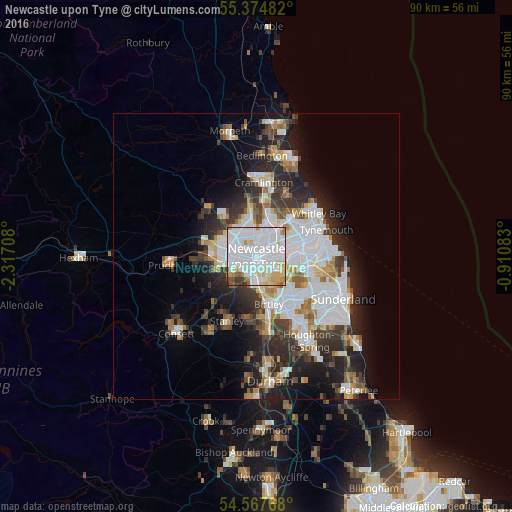
Analysis of Newcastle upon Tyne night lights 2016
Square area 10x10 km:
 48.33%
90-99
28.59%80-89
8.97%70-79
5.14%60-69
2.75%50-59
2.39%40-49
1.79%30-39
1.91%20-29
0.12%10-19
0%0-9
0%Square area 50x50 km:
7.43%90-99
5.31%80-89
2.02%70-79
2.08%60-69
2.29%50-59
2.22%40-49
2.13%30-39
3.92%20-29
6.36%10-19
8.2%0-9
58.03%Clear (daylight) street map image can be seen on geolist.org.
Map coordinates:
55° 22' 29.4" North, 2° 19' 1.5" West
54° 58' 23.8" North, 1° 36' 50.3" West
54° 34' 3.6" North, 0° 54' 39" West
Some cities around Newcastle upon Tyne sort by population:
• Gateshead
1.5 km =0.9 mi,  147°
147°
• Wallsend
5.5 km =3.4 mi,  68°
68°
• Felling
3.5 km =2.2 mi,  129°
129°
• Gosforth
3 km =1.9 mi,  356°
356°
• Hebburn
6.3 km =3.9 mi,  90°
90°
• Whickham
5 km =3.1 mi,  232°
232°
• Blaydon-on-Tyne
6.5 km =4 mi,  261°
261°
• Benwell
3.5 km =2.2 mi,  269°
269°
2641673 (p: 192,382)
Sources (retrieved 2019-11-25):
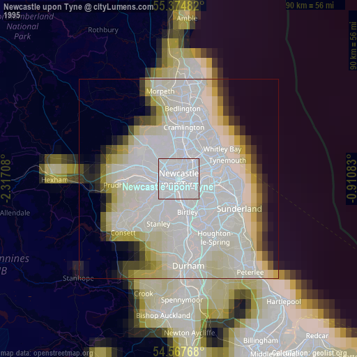
» NASA, Earths city lights 1995
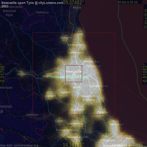
» NASA city lights 2003
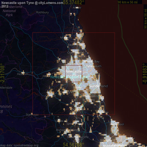
» Earth at Night: Flat Maps 2012, 2016