St Ives night lights from space
Night Light of St Ives (England) from space (United Kingdom) Src. Average luminocity for 10x10km area is 2.6083% and for 50x50km: 1.3364%.
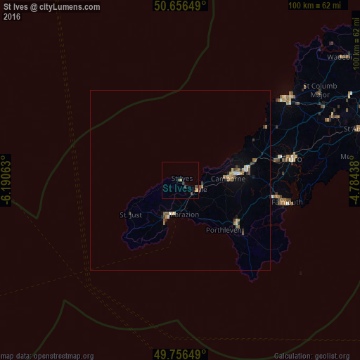
Analysis of St Ives night lights 2016
Square area 10x10 km:
 0%
0%90-99
0%80-89
0.27%70-79
0.27%60-69
0.4%50-59
0.94%40-49
1.2%30-39
1.2%20-29
0%10-19
0%0-9
95.72%Square area 50x50 km:
0.08%90-99
0.13%80-89
0.15%70-79
0.18%60-69
0.24%50-59
0.31%40-49
0.18%30-39
0.25%20-29
0.13%10-19
0.36%0-9
97.98%Clear (daylight) street map image can be seen on geolist.org.
Map coordinates:
50° 39' 23.4" North, 6° 11' 26.3" West
50° 12' 31" North, 5° 29' 15" West
49° 45' 23.4" North, 4° 47' 3.8" West
Some cities around St Ives sort by population:
• Redruth
18.9 km =11.7 mi,  81°
81°
• Falmouth
30.3 km =18.8 mi,  101°
101°
• Truro
31.4 km =19.5 mi, 78°
• Camborne
13.5 km =8.4 mi,  87°
87°
• Penzance
10.6 km =6.6 mi,  199°
199°
• Helston
19.4 km =12.1 mi,  127°
127°
• Hayle
5.4 km =3.4 mi,  120°
120°
• Penryn
27.7 km =17.2 mi, 99°
2638778 (p: 9,966)
Sources (retrieved 2019-11-25):
» Earth at Night: Flat Maps 2012, 2016