Rhyl night lights from space
Night Light of Rhyl (Wales) from space (United Kingdom) Src. Average luminocity for 10x10km area is 16.5934% and for 50x50km: 3.8274%.
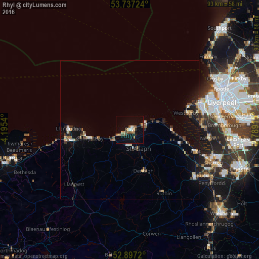
Analysis of Rhyl night lights 2016
Square area 10x10 km:
 1.01%
1.01%90-99
1.52%80-89
1.52%70-79
2.9%60-69
3.54%50-59
2.02%40-49
2.15%30-39
2.27%20-29
1.01%10-19
15.91%0-9
66.16%Square area 50x50 km:
0.32%90-99
0.53%80-89
0.31%70-79
0.4%60-69
0.41%50-59
0.54%40-49
0.63%30-39
0.85%20-29
0.69%10-19
2.55%0-9
92.76%Clear (daylight) street map image can be seen on geolist.org.
Map coordinates:
53° 44' 14.1" North, 4° 11' 43.4" West
53° 19' 9.4" North, 3° 29' 32.2" West
52° 53' 49.9" North, 2° 47' 20.9" West
Some cities around Rhyl sort by population:
• Colwyn Bay
15.8 km =9.8 mi,  260°
260°
• Prestatyn
6 km =3.7 mi,  70°
70°
• Abergele
7.1 km =4.4 mi,  236°
236°
• Deganwy
22.3 km =13.9 mi,  265°
265°
• Denbigh
15.9 km =9.9 mi,  161°
161°
• West Kirby
21.3 km =13.2 mi, 73°
• Holywell
18.2 km =11.3 mi,  105°
105°
• Hoylake
22.1 km =13.7 mi, 69°
2639409 (p: 25,874)
Sources (retrieved 2019-11-25):
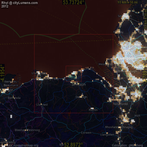
» Earth at Night: Flat Maps 2012, 2016