Isle of Bute night lights from space
Night Light of Isle of Bute (Scotland) from space (United Kingdom) Src. Average luminocity for 10x10km area is 1.6447% and for 50x50km: 3.8245%.
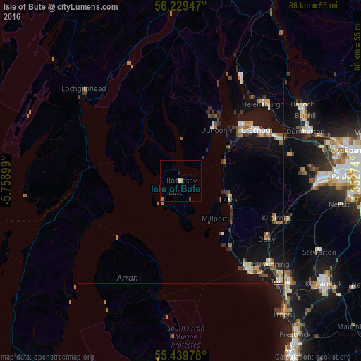
Analysis of Isle of Bute night lights 2016
Square area 10x10 km:
 0%
0%90-99
0%80-89
0.48%70-79
0.36%60-69
0.6%50-59
0%40-49
0.48%30-39
0%20-29
0.72%10-19
0.24%0-9
97.13%Square area 50x50 km:
0.45%90-99
0.49%80-89
0.29%70-79
0.42%60-69
0.54%50-59
0.61%40-49
0.46%30-39
0.62%20-29
0.76%10-19
3.71%0-9
91.66%Clear (daylight) street map image can be seen on geolist.org.
Map coordinates:
56° 13' 46.1" North, 5° 45' 32.4" West
55° 50' 11.9" North, 5° 3' 21.1" West
55° 26' 23.2" North, 4° 21' 9.9" West
Some cities around Isle of Bute sort by population:
• Greenock
22.2 km =13.8 mi,  55°
55°
• Port Glasgow
25.3 km =15.7 mi, 64°
• Largs
12.8 km =8 mi,  110°
110°
• Ardrossan
25.9 km =16.1 mi,  143°
143°
• Gourock
20.3 km =12.6 mi,  46°
46°
• Dunoon
15 km =9.3 mi,  32°
32°
• Kilbirnie
24.9 km =15.5 mi, 112°
• Dalry
25.2 km =15.7 mi,  124°
124°
8299622 (p: 7,228)
Sources (retrieved 2019-11-25):
» Earth at Night: Flat Maps 2012, 2016