Greenock night lights from space
Night Light of Greenock (Scotland) from space (United Kingdom) Src. Average luminocity for 10x10km area is 29.0727% and for 50x50km: 9.134%.
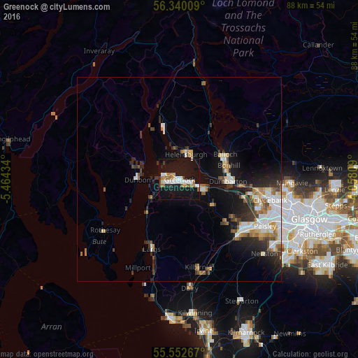
Analysis of Greenock night lights 2016
Square area 10x10 km:
 6.39%
6.39%90-99
4.89%80-89
1%70-79
3.38%60-69
4.51%50-59
2.51%40-49
2.01%30-39
1.63%20-29
1.13%10-19
55.76%0-9
16.79%Square area 50x50 km:
1.77%90-99
1.71%80-89
0.68%70-79
0.95%60-69
1.21%50-59
0.98%40-49
0.92%30-39
1.35%20-29
2.36%10-19
6.49%0-9
81.57%Clear (daylight) street map image can be seen on geolist.org.
Map coordinates:
56° 20' 24.3" North, 5° 27' 51.6" West
55° 56' 54.2" North, 4° 45' 40.4" West
55° 33' 9.6" North, 4° 3' 29.1" West
Some cities around Greenock sort by population:
• Vale of Leven
11.6 km =7.2 mi,  77°
77°
• Dumbarton
11.9 km =7.4 mi,  92°
92°
• Port Glasgow
4.7 km =2.9 mi,  108°
108°
• Helensburgh
6.8 km =4.2 mi,  18°
18°
• Gourock
3.8 km =2.4 mi,  292°
292°
• Bonhill
12.8 km =8 mi,  74°
74°
• Dunoon
10.3 km =6.4 mi,  271°
271°
• Alexandria
12 km =7.5 mi, 65°
2647948 (p: 43,690)
Sources (retrieved 2019-11-25):
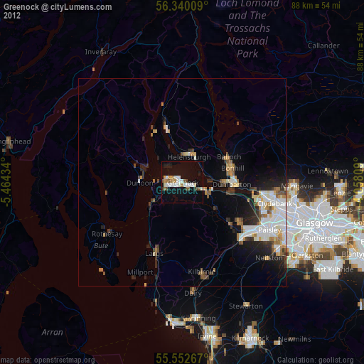
» Earth at Night: Flat Maps 2012, 2016