Neilston night lights from space
Night Light of Neilston (Scotland) from space (United Kingdom) Src. Average luminocity for 10x10km area is 30.3971% and for 50x50km: 26.6947%.
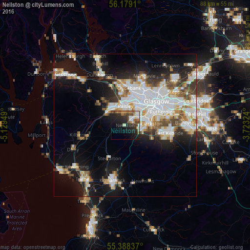
Analysis of Neilston night lights 2016
Square area 10x10 km:
 3.71%
3.71%90-99
5.38%80-89
2.63%70-79
3.23%60-69
5.5%50-59
3.95%40-49
4.07%30-39
4.67%20-29
16.75%10-19
20.33%0-9
29.78%Square area 50x50 km:
7.19%90-99
6.41%80-89
2.25%70-79
2.62%60-69
2.78%50-59
2.52%40-49
2.71%30-39
2.66%20-29
4.64%10-19
14.05%0-9
52.18%Clear (daylight) street map image can be seen on geolist.org.
Map coordinates:
56° 10' 44.8" North, 5° 7' 46.2" West
55° 47' 8.7" North, 4° 25' 34.9" West
55° 23' 18.1" North, 3° 43' 23.7" West
Some cities around Neilston sort by population:
• Paisley
5.1 km =3.2 mi,  355°
355°
• Newton Mearns
6 km =3.7 mi,  103°
103°
• Barrhead
2.6 km =1.6 mi,  54°
54°
• Johnstone
7.4 km =4.6 mi,  310°
310°
• Giffnock
8.5 km =5.3 mi,  76°
76°
• Clarkston
9.4 km =5.8 mi,  89°
89°
• Linwood
8.1 km =5 mi,  328°
328°
• Elderslie
6.5 km =4 mi,  324°
324°
2641815 (p: 5,310)
Sources (retrieved 2019-11-25):
» Earth at Night: Flat Maps 2012, 2016