Barrhead night lights from space
Night Light of Barrhead (Scotland) from space (United Kingdom) Src. Average luminocity for 10x10km area is 54.7153% and for 50x50km: 27.8344%.
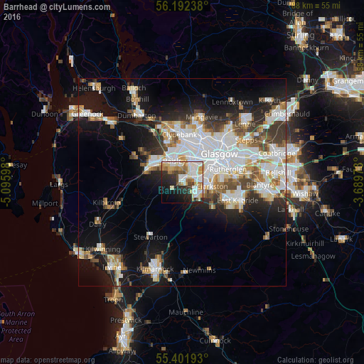
Analysis of Barrhead night lights 2016
Square area 10x10 km:
 12.44%
90-99
16.39%80-89
6.46%70-79
7.66%60-69
6.46%50-59
3.59%40-49
3.83%30-39
4.9%20-29
15.07%10-19
12.8%0-9
10.41%Square area 50x50 km:
7.57%90-99
6.86%80-89
2.22%70-79
2.78%60-69
2.82%50-59
2.59%40-49
2.74%30-39
3.11%20-29
4.96%10-19
13.63%0-9
50.72%Clear (daylight) street map image can be seen on geolist.org.
Map coordinates:
56° 11' 32.6" North, 5° 5' 45.5" West
55° 47' 57" North, 4° 23' 34.3" West
55° 24' 6.9" North, 3° 41' 23" West
Some cities around Barrhead sort by population:
• Paisley
4.4 km =2.7 mi,  325°
325°
• Newton Mearns
4.7 km =2.9 mi,  127°
127°
• Renfrew
8.1 km =5 mi,  0°
0°
• Giffnock
6.1 km =3.8 mi,  85°
85°
• Clarkston
7.4 km =4.6 mi,  101°
101°
• Linwood
8.3 km =5.2 mi,  311°
311°
• Elderslie
6.9 km =4.3 mi,  303°
303°
• Neilston
2.6 km =1.6 mi,  234°
234°
2656258 (p: 17,620)
Sources (retrieved 2019-11-25):
» Earth at Night: Flat Maps 2012, 2016