Paisley night lights from space
Night Light of Paisley (Scotland) from space (United Kingdom) Src. Average luminocity for 10x10km area is 63.8792% and for 50x50km: 25.5411%.
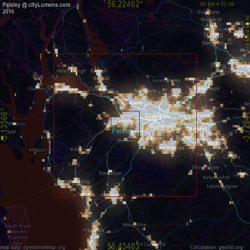
Analysis of Paisley night lights 2016
Square area 10x10 km:
 18.9%
18.9%90-99
18.78%80-89
5.5%70-79
7.54%60-69
6.46%50-59
4.55%40-49
4.55%30-39
7.66%20-29
15.19%10-19
9.81%0-9
1.08%Square area 50x50 km:
6.94%90-99
6.18%80-89
2.16%70-79
2.44%60-69
2.69%50-59
2.45%40-49
2.59%30-39
2.52%20-29
4.41%10-19
12.35%0-9
55.26%Clear (daylight) street map image can be seen on geolist.org.
Map coordinates:
56° 13' 28.6" North, 5° 8' 8.4" West
55° 49' 54.2" North, 4° 25' 57.1" West
55° 26' 5.4" North, 3° 43' 45.9" West
Some cities around Paisley sort by population:
• Clydebank
7.9 km =4.9 mi,  12°
12°
• Renfrew
5.1 km =3.2 mi,  29°
29°
• Barrhead
4.4 km =2.7 mi,  145°
145°
• Johnstone
5.2 km =3.2 mi,  266°
266°
• Erskine
7.7 km =4.8 mi,  351°
351°
• Linwood
4.2 km =2.6 mi,  295°
295°
• Elderslie
3.3 km =2.1 mi, 272°
• Neilston
5.1 km =3.2 mi,  175°
175°
2640677 (p: 76,220)
Sources (retrieved 2019-11-25):
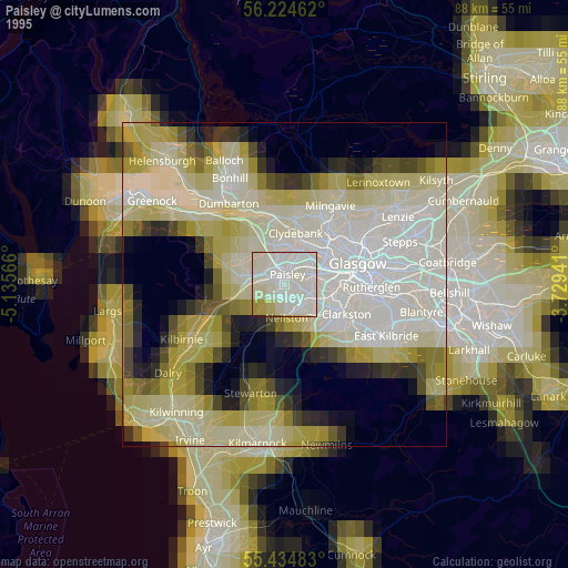
» NASA, Earths city lights 1995
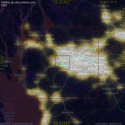
» NASA city lights 2003
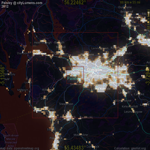
» Earth at Night: Flat Maps 2012, 2016