Luton night lights from space
Night Light of Luton (England) from space (United Kingdom) Src. Average luminocity for 10x10km area is 52.8586% and for 50x50km: 22.2778%.
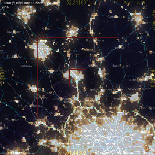
Analysis of Luton night lights 2016
Square area 10x10 km:
 14.02%
90-99
15.53%80-89
5.93%70-79
4.67%60-69
3.28%50-59
1.26%40-49
2.4%30-39
9.72%20-29
22.47%10-19
16.67%0-9
4.04%Square area 50x50 km:
3.22%90-99
3.83%80-89
2.23%70-79
1.86%60-69
2.44%50-59
3.22%40-49
3.55%30-39
4.84%20-29
7.78%10-19
15.15%0-9
51.89%Clear (daylight) street map image can be seen on geolist.org.
Map coordinates:
52° 18' 41.9" North, 1° 7' 14.2" West
51° 52' 46.8" North, 0° 25' 2.9" West
51° 26' 36.7" North, 0° 17' 8.3" East
Some cities around Luton sort by population:
• Stevenage
15 km =9.3 mi,  80°
80°
• Hemel Hempstead
14.2 km =8.8 mi,  188°
188°
• Dunstable
7.3 km =4.5 mi,  275°
275°
• Hitchin
11.9 km =7.4 mi,  49°
49°
• Harpenden
8.1 km =5 mi,  149°
149°
• Flitwick
14.7 km =9.1 mi,  338°
338°
• Codicote
12.8 km =8 mi,  104°
104°
• Redbourn
9.1 km =5.7 mi,  170°
170°
2643339 (p: 258,018)
Sources (retrieved 2019-11-25):
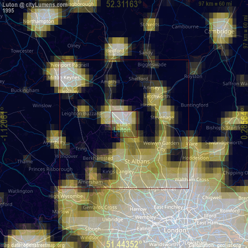
» NASA, Earths city lights 1995
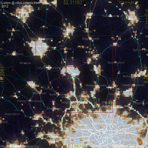
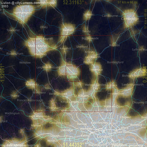
» NASA city lights 2003
» Earth at Night: Flat Maps 2012, 2016