Locharbriggs night lights from space
Night Light of Locharbriggs (Scotland) from space (United Kingdom) Src. Average luminocity for 10x10km area is 18.9386% and for 50x50km: 1.4776%.
Analysis of Locharbriggs night lights 2016
Square area 10x10 km:
 3.13%
3.13%90-99
4.89%80-89
1.13%70-79
2.01%60-69
1.63%50-59
3.26%40-49
3.51%30-39
0.88%20-29
0.63%10-19
16.17%0-9
62.78%Square area 50x50 km:
0.15%90-99
0.21%80-89
0.15%70-79
0.19%60-69
0.2%50-59
0.27%40-49
0.23%30-39
0.14%20-29
0.11%10-19
1.19%0-9
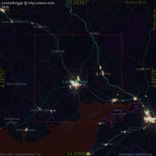
97.15%Clear (daylight) street map image can be seen on geolist.org.
Map coordinates:
55° 30' 13" North, 4° 17' 15" West
55° 6' 12.1" North, 3° 35' 3.8" West
54° 41' 56.7" North, 2° 52' 52.5" West
Some cities around Locharbriggs sort by population:
• Carlisle
47.3 km =29.4 mi,  119°
119°
• Dumfries
4.1 km =2.5 mi,  204°
204°
• Workington
51.3 km =31.9 mi,  177°
177°
• Maryport
43.6 km =27.1 mi,  172°
172°
• Cockermouth
51.1 km =31.8 mi,  163°
163°
• Annan
24.5 km =15.2 mi, 121°
• Denton Holme
47.7 km =29.6 mi, 120°
• Wigton
41.1 km =25.5 mi,  138°
138°
2643853 (p: 5,960)
Sources (retrieved 2019-11-25):
» Earth at Night: Flat Maps 2012, 2016