Dumfries night lights from space
Night Light of Dumfries (Scotland) from space (United Kingdom) Src. Average luminocity for 10x10km area is 23.3296% and for 50x50km: 1.5006%.

Analysis of Dumfries night lights 2016
Square area 10x10 km:
 3.88%
3.88%90-99
5.14%80-89
1.25%70-79
2.51%60-69
2.26%50-59
4.26%40-49
3.76%30-39
0.88%20-29
0.88%10-19
26.44%0-9
48.75%Square area 50x50 km:
0.15%90-99
0.21%80-89
0.15%70-79
0.19%60-69
0.2%50-59
0.29%40-49
0.25%30-39
0.16%20-29
0.11%10-19
1.19%0-9
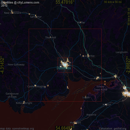
97.09%Clear (daylight) street map image can be seen on geolist.org.
Map coordinates:
55° 28' 12.6" North, 4° 18' 52.3" West
55° 4' 10.5" North, 3° 36' 41" West
54° 39' 53.9" North, 2° 54' 29.8" West
Some cities around Dumfries sort by population:
• Carlisle
47.1 km =29.3 mi,  114°
114°
• Workington
47.7 km =29.6 mi,  174°
174°
• Maryport
40.2 km =25 mi, 169°
• Cockermouth
48.1 km =29.9 mi,  160°
160°
• Annan
24.4 km =15.2 mi, 111°
• Denton Holme
47.4 km =29.5 mi,  115°
115°
• Locharbriggs
4.1 km =2.5 mi,  24°
24°
• Wigton
39.6 km =24.6 mi,  133°
133°
2650798 (p: 33,280)
Sources (retrieved 2019-11-25):
» Earth at Night: Flat Maps 2012, 2016