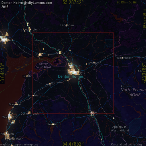
Denton Holme night lights from space
Night Light of Denton Holme (England) from space (United Kingdom) Src. Average luminocity for 10x10km area is 29.1687% and for 50x50km: 1.9816%.
Analysis of Denton Holme night lights 2016
Square area 10x10 km:
 3.95%
3.95%90-99
5.62%80-89
3.71%70-79
2.63%60-69
4.9%50-59
4.07%40-49
2.87%30-39
3.11%20-29
4.19%10-19
29.19%0-9
35.77%Square area 50x50 km:
0.19%90-99
0.28%80-89
0.25%70-79
0.25%60-69
0.33%50-59
0.31%40-49
0.26%30-39
0.24%20-29
0.25%10-19
1.66%0-9
96.01%Clear (daylight) street map image can be seen on geolist.org.
Map coordinates:
55° 17' 14.7" North, 3° 38' 38.9" West
54° 53' 6" North, 2° 56' 27.6" West
54° 28' 42.7" North, 2° 14' 16.4" West
Some cities around Denton Holme sort by population:
• Carlisle
1.1 km =0.7 mi,  9°
9°
• Dumfries
47.4 km =29.5 mi,  295°
295°
• Workington
47.2 km =29.3 mi,  235°
235°
• Penrith
27.1 km =16.8 mi,  154°
154°
• Maryport
40.3 km =25 mi, 241°
• Cockermouth
36.6 km =22.7 mi,  227°
227°
• Annan
23.2 km =14.4 mi, 299°
• Wigton
15.6 km =9.7 mi, 244°
11593055 (p: 6,500)
Sources (retrieved 2019-11-25):
» Earth at Night: Flat Maps 2012, 2016