Carlisle night lights from space
Night Light of Carlisle (England) from space (United Kingdom) Src. Average luminocity for 10x10km area is 29.9988% and for 50x50km: 1.8993%.
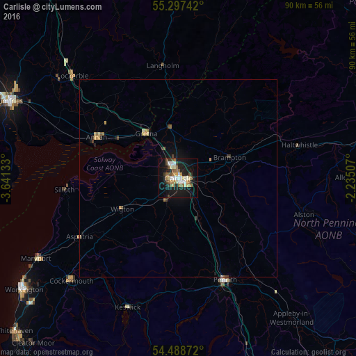
Analysis of Carlisle night lights 2016
Square area 10x10 km:
 3.95%
3.95%90-99
5.62%80-89
3.71%70-79
2.63%60-69
4.9%50-59
5.02%40-49
2.99%30-39
3.47%20-29
4.19%10-19
31.82%0-9
31.7%Square area 50x50 km:
0.17%90-99
0.25%80-89
0.24%70-79
0.24%60-69
0.31%50-59
0.31%40-49
0.23%30-39
0.24%20-29
0.25%10-19
1.66%0-9
96.11%Clear (daylight) street map image can be seen on geolist.org.
Map coordinates:
55° 17' 50.7" North, 3° 38' 28.8" West
54° 53' 42.4" North, 2° 56' 17.5" West
54° 29' 19.4" North, 2° 14' 6.3" West
Some cities around Carlisle sort by population:
• Dumfries
47.1 km =29.3 mi,  294°
294°
• Penrith
28 km =17.4 mi,  155°
155°
• Maryport
41 km =25.5 mi,  240°
240°
• Cockermouth
37.5 km =23.3 mi,  226°
226°
• Annan
22.8 km =14.2 mi,  297°
297°
• Denton Holme
1.1 km =0.7 mi,  189°
189°
• Locharbriggs
47.3 km =29.4 mi, 299°
• Wigton
16.3 km =10.1 mi, 241°
2653775 (p: 78,470)
Sources (retrieved 2019-11-25):
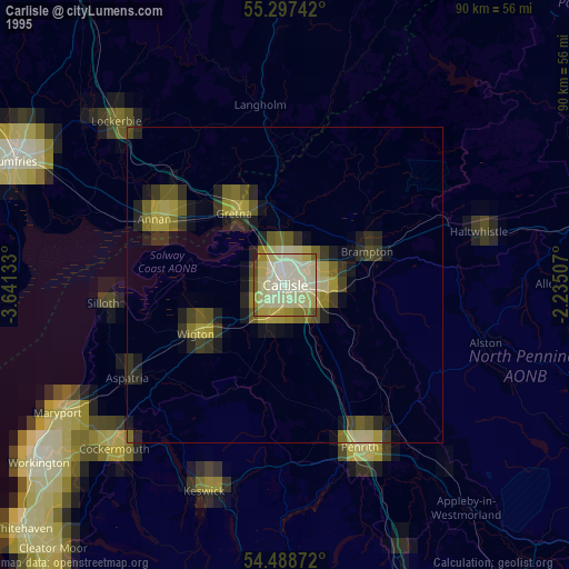
» NASA, Earths city lights 1995
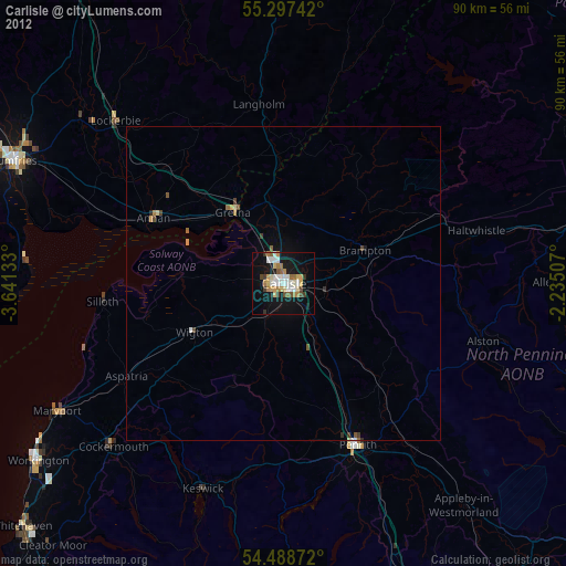
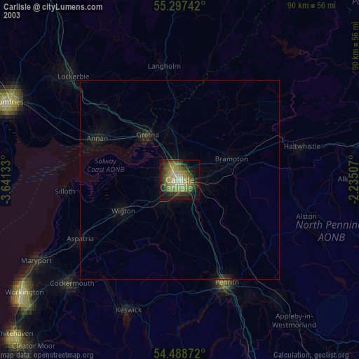
» NASA city lights 2003
» Earth at Night: Flat Maps 2012, 2016