Llandrindod Wells night lights from space
Night Light of Llandrindod Wells (Wales) from space (United Kingdom) Src. Average luminocity for 10x10km area is 0.7024% and for 50x50km: 0.0759%.
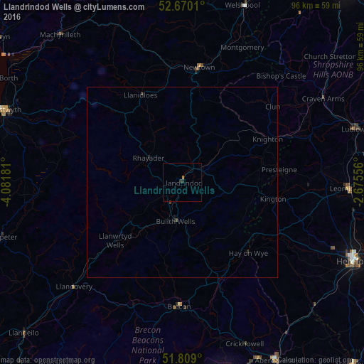
Analysis of Llandrindod Wells night lights 2016
Square area 10x10 km:
 0%
0%90-99
0%80-89
0%70-79
0%60-69
0.53%50-59
0%40-49
0%30-39
0.53%20-29
0.53%10-19
0%0-9
98.41%Square area 50x50 km:
0%90-99
0%80-89
0%70-79
0%60-69
0.02%50-59
0.02%40-49
0.01%30-39
0.05%20-29
0.08%10-19
0.03%0-9
99.79%Clear (daylight) street map image can be seen on geolist.org.
Map coordinates:
52° 40' 12.4" North, 4° 4' 54.5" West
52° 14' 29.9" North, 3° 22' 43.2" West
51° 48' 32.4" North, 2° 40' 32" West
Some cities around Llandrindod Wells sort by population:
• Hereford
49.7 km =30.9 mi,  114°
114°
• Aberystwyth
51.6 km =32.1 mi,  291°
291°
• Brynmawr
50.9 km =31.6 mi,  164°
164°
• Newtown
31 km =19.3 mi,  9°
9°
• Leominster
43.2 km =26.8 mi,  92°
92°
• Ludlow
47.6 km =29.6 mi,  71°
71°
• Brecon
32.9 km =20.4 mi,  181°
181°
• Welshpool
49.1 km =30.5 mi,  18°
18°
2644122 (p: 5,309)
Sources (retrieved 2019-11-25):
» Earth at Night: Flat Maps 2012, 2016