Kendal night lights from space
Night Light of Kendal (England) from space (United Kingdom) Src. Average luminocity for 10x10km area is 8.5927% and for 50x50km: 0.9697%.
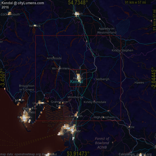
Analysis of Kendal night lights 2016
Square area 10x10 km:
 0.38%
0.38%90-99
0.63%80-89
1.5%70-79
2.01%60-69
1%50-59
1.75%40-49
1.75%30-39
1.38%20-29
0.25%10-19
0.88%0-9
88.47%Square area 50x50 km:
0.01%90-99
0.06%80-89
0.06%70-79
0.17%60-69
0.16%50-59
0.23%40-49
0.3%30-39
0.16%20-29
0.15%10-19
0.25%0-9
98.45%Clear (daylight) street map image can be seen on geolist.org.
Map coordinates:
54° 44' 5.3" North, 3° 27' 2.5" West
54° 19' 36.5" North, 2° 44' 51.3" West
53° 54' 53" North, 2° 2' 40" West
Some cities around Kendal sort by population:
• Morecambe
29.7 km =18.5 mi,  194°
194°
• Lancaster
31.4 km =19.5 mi, 186°
• Heysham
32.9 km =20.4 mi,  196°
196°
• Ulverston
26.9 km =16.7 mi,  237°
237°
• Carnforth
21.7 km =13.5 mi,  183°
183°
• Dalton in Furness
33.8 km =21 mi, 236°
• Windermere
12 km =7.5 mi,  300°
300°
• Bolton le Sands
25.9 km =16.1 mi, 187°
2645826 (p: 29,147)
Sources (retrieved 2019-11-25):
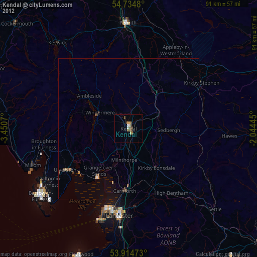
» Earth at Night: Flat Maps 2012, 2016