Hornsea night lights from space
Night Light of Hornsea (England) from space (United Kingdom) Src. Average luminocity for 10x10km area is 1.7526% and for 50x50km: 6.7885%.
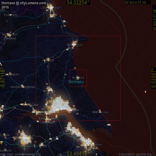
Analysis of Hornsea night lights 2016
Square area 10x10 km:
 0%
0%90-99
0%80-89
0%70-79
0.53%60-69
0%50-59
0%40-49
1.19%30-39
1.46%20-29
0%10-19
0.53%0-9
96.3%Square area 50x50 km:
1.33%90-99
1.42%80-89
0.56%70-79
0.44%60-69
0.64%50-59
0.85%40-49
0.92%30-39
1.19%20-29
2.32%10-19
4.43%0-9
85.91%Clear (daylight) street map image can be seen on geolist.org.
Map coordinates:
54° 19' 21.1" North, 0° 52' 16.2" West
53° 54' 37.5" North, 0° 10' 5" West
53° 29' 39" North, 0° 32' 6.3" East
Some cities around Hornsea sort by population:
• Kingston upon Hull
21.5 km =13.4 mi,  210°
210°
• Bridlington
19.3 km =12 mi,  355°
355°
• Beverley
18.2 km =11.3 mi,  246°
246°
• Driffield
21 km =13 mi,  300°
300°
• Barton upon Humber
30.5 km =19 mi,  216°
216°
• Hedon
19.1 km =11.9 mi,  185°
185°
• Watton
18.6 km =11.6 mi,  277°
277°
• Withernsea
23.9 km =14.9 mi,  146°
146°
2646583 (p: 8,432)
Sources (retrieved 2019-11-25):
» Earth at Night: Flat Maps 2012, 2016