Fylde night lights from space
Night Light of Fylde (England) from space (United Kingdom) Src. Average luminocity for 10x10km area is 13.4974% and for 50x50km: 12.9506%.
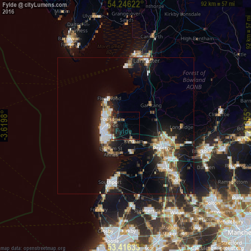

Analysis of Fylde night lights 2016
Square area 10x10 km:
 0.93%
0.93%90-99
0.26%80-89
1.19%70-79
0.93%60-69
1.59%50-59
3.04%40-49
2.65%30-39
2.65%20-29
7.8%10-19
14.42%0-9
64.55%Square area 50x50 km:
2.09%90-99
2.62%80-89
1.02%70-79
1.3%60-69
1.61%50-59
1.48%40-49
1.48%30-39
1.5%20-29
4.24%10-19
10.63%0-9
72.04%Clear (daylight) street map image can be seen on geolist.org.
Map coordinates:
54° 14' 46.4" North, 3° 37' 11.3" West
53° 49' 60" North, 2° 55' 0" West
53° 24' 58.8" North, 2° 12' 48.8" West
Some cities around Fylde sort by population:
• Blackpool
8.9 km =5.5 mi,  258°
258°
• Lytham St Annes
11.4 km =7.1 mi,  207°
207°
• Thornton-Cleveleys
8.3 km =5.2 mi,  303°
303°
• Poulton-le-Fylde
4.4 km =2.7 mi,  270°
270°
• Cleveleys
9.5 km =5.9 mi, 301°
• Kirkham
6.4 km =4 mi,  152°
152°
• Freckleton
9.4 km =5.8 mi,  158°
158°
• Preesall
10 km =6.2 mi,  340°
340°
2648970 (p: 76,500)
Sources (retrieved 2019-11-25):
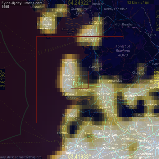
» NASA, Earths city lights 1995
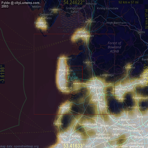
» NASA city lights 2003
» Earth at Night: Flat Maps 2012, 2016