Crawley night lights from space
Night Light of Crawley (England) from space (United Kingdom) Src. Average luminocity for 10x10km area is 42.7259% and for 50x50km: 11.8502%.
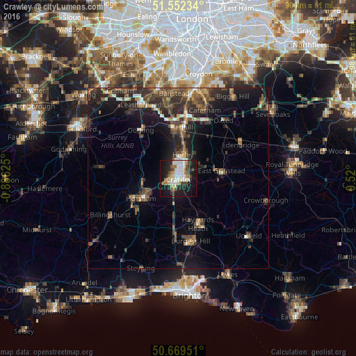
Analysis of Crawley night lights 2016
Square area 10x10 km:
 8.42%
8.42%90-99
11.5%80-89
3.48%70-79
4.14%60-69
6.28%50-59
2.27%40-49
5.88%30-39
4.55%20-29
10.7%10-19
31.42%0-9
11.36%Square area 50x50 km:
0.87%90-99
1.39%80-89
0.68%70-79
1.11%60-69
1.86%50-59
2.22%40-49
3.22%30-39
3.04%20-29
4.2%10-19
8.88%0-9
72.53%Clear (daylight) street map image can be seen on geolist.org.
Map coordinates:
51° 33' 8.4" North, 0° 53' 10.5" West
51° 6' 46.9" North, 0° 10' 59.2" West
50° 40' 10.2" North, 0° 31' 12" East
Some cities around Crawley sort by population:
• Horsham
11.5 km =7.1 mi,  241°
241°
• Horley
7 km =4.3 mi,  13°
13°
• Broadfield
2.4 km =1.5 mi,  222°
222°
• Bewbush
3 km =1.9 mi,  248°
248°
• Maidenbower
2.2 km =1.4 mi,  105°
105°
• Langley Green
2 km =1.2 mi,  327°
327°
• Furnace Green
1.2 km =0.7 mi,  122°
122°
• Gossops Green
2.4 km =1.5 mi,  264°
264°
2652053 (p: 180,508)
Sources (retrieved 2019-11-25):
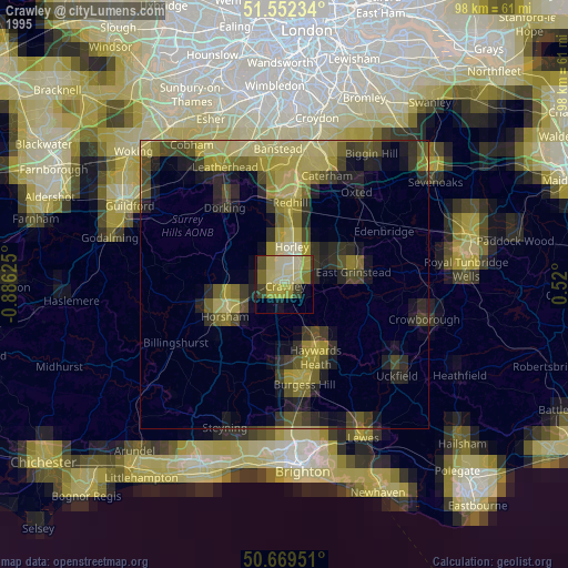
» NASA, Earths city lights 1995
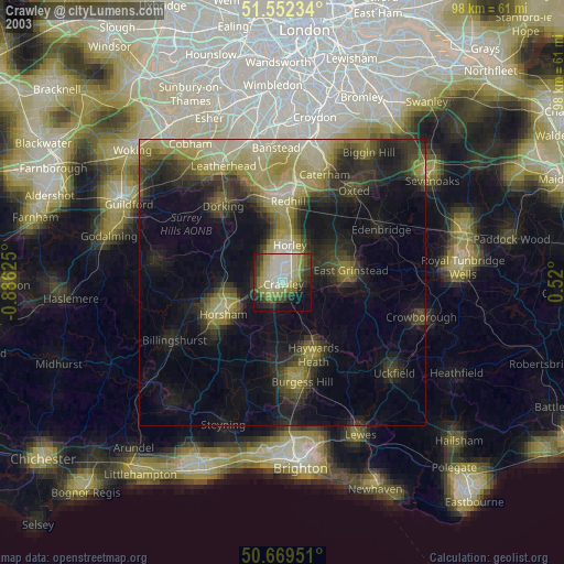
» NASA city lights 2003
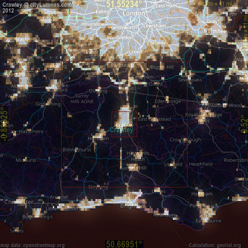
» Earth at Night: Flat Maps 2012, 2016