Horley night lights from space
Night Light of Horley (England) from space (United Kingdom) Src. Average luminocity for 10x10km area is 34% and for 50x50km: 19.8932%.
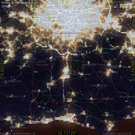
Analysis of Horley night lights 2016
Square area 10x10 km:
 6.28%
6.28%90-99
6.55%80-89
0%70-79
3.61%60-69
4.28%50-59
1.74%40-49
7.49%30-39
7.75%20-29
16.84%10-19
29.28%0-9
16.18%Square area 50x50 km:
2.59%90-99
3.19%80-89
1.96%70-79
2.56%60-69
3.48%50-59
3.43%40-49
4.24%30-39
3.71%20-29
5.11%10-19
8.35%0-9
61.38%Clear (daylight) street map image can be seen on geolist.org.
Map coordinates:
51° 36' 46.6" North, 0° 51' 44.3" West
51° 10' 27.2" North, 0° 9' 33.1" West
50° 43' 52.6" North, 0° 32' 38.2" East
Some cities around Horley sort by population:
• Crawley
7 km =4.3 mi,  193°
193°
• Reigate
7.7 km =4.8 mi,  335°
335°
• Redhill
7.4 km =4.6 mi,  353°
353°
• Bewbush
9.1 km =5.7 mi,  209°
209°
• Maidenbower
7.4 km =4.6 mi,  176°
176°
• Langley Green
5.8 km =3.6 mi, 208°
• Furnace Green
7.5 km =4.7 mi, 185°
• Gossops Green
8.1 km =5 mi, 209°
2646606 (p: 21,232)
Sources (retrieved 2019-11-25):
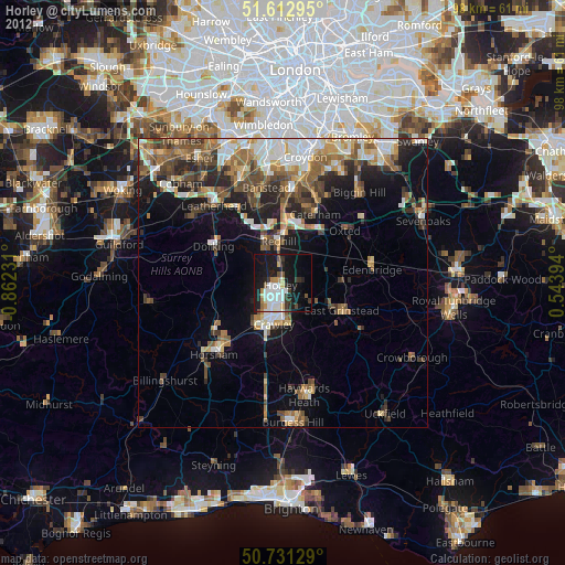
» Earth at Night: Flat Maps 2012, 2016