Arbroath night lights from space
Night Light of Arbroath (Scotland) from space (United Kingdom) Src. Average luminocity for 10x10km area is 8.2841% and for 50x50km: 2.9958%.
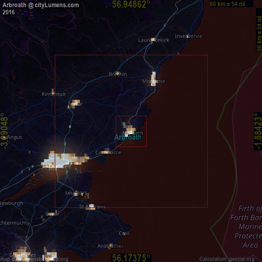
Analysis of Arbroath night lights 2016
Square area 10x10 km:
 1.02%
1.02%90-99
0.8%80-89
0.45%70-79
1.48%60-69
1.7%50-59
1.59%40-49
1.59%30-39
0.91%20-29
0.45%10-19
0.91%0-9
89.09%Square area 50x50 km:
0.46%90-99
0.59%80-89
0.26%70-79
0.29%60-69
0.39%50-59
0.34%40-49
0.24%30-39
0.2%20-29
1.01%10-19
1.86%0-9
94.35%Clear (daylight) street map image can be seen on geolist.org.
Map coordinates:
56° 56' 55" North, 3° 17' 25.7" West
56° 33' 47.4" North, 2° 35' 14.5" West
56° 10' 25.5" North, 1° 53' 3.2" West
Some cities around Arbroath sort by population:
• Dundee
26 km =16.2 mi,  246°
246°
• Saint Andrews
28.1 km =17.5 mi,  207°
207°
• Forfar
20.6 km =12.8 mi,  295°
295°
• Montrose
18.6 km =11.6 mi,  23°
23°
• Carnoustie
9.9 km =6.2 mi,  227°
227°
• Monifieth
16.7 km =10.4 mi,  237°
237°
• Brechin
19 km =11.8 mi,  347°
347°
• Kirriemuir
28.3 km =17.6 mi, 295°
2657215 (p: 23,640)
Sources (retrieved 2019-11-25):
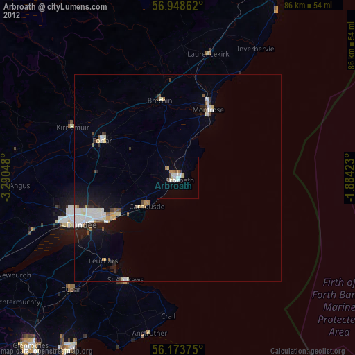
» Earth at Night: Flat Maps 2012, 2016