Penrith night lights from space
Night Light of Penrith (England) from space (United Kingdom) Src. Average luminocity for 10x10km area is 5.5276% and for 50x50km: 0.8614%.
Analysis of Penrith night lights 2016
Square area 10x10 km:
 1.13%
1.13%90-99
0.88%80-89
0.5%70-79
0.13%60-69
0.38%50-59
0.5%40-49
2.13%30-39
0.88%20-29
0.25%10-19
0.75%0-9
92.48%Square area 50x50 km:
0.1%90-99
0.13%80-89
0.1%70-79
0.07%60-69
0.15%50-59
0.09%40-49
0.15%30-39
0.14%20-29
0.05%10-19
0.79%0-9
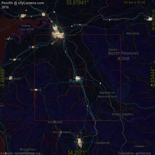
98.26%Clear (daylight) street map image can be seen on geolist.org.
Map coordinates:
55° 4' 13.5" North, 3° 27' 38.5" West
54° 39' 56.8" North, 2° 45' 27.3" West
54° 15' 25.6" North, 2° 3' 16" West
Some cities around Penrith sort by population:
• Carlisle
28 km =17.4 mi,  335°
335°
• Kendal
37.7 km =23.4 mi,  179°
179°
• Maryport
47.7 km =29.6 mi,  276°
276°
• Cockermouth
38.8 km =24.1 mi,  269°
269°
• Annan
48 km =29.8 mi,  318°
318°
• Windermere
33.1 km =20.6 mi,  196°
196°
• Denton Holme
27.1 km =16.8 mi,  334°
334°
• Wigton
31.4 km =19.5 mi,  304°
304°
2640416 (p: 15,181)
Sources (retrieved 2019-11-25):
» Earth at Night: Flat Maps 2012, 2016