Coleraine night lights from space
Night Light of Coleraine (Northern Ireland) from space (United Kingdom) Src. Average luminocity for 10x10km area is 17.7619% and for 50x50km: 1.8103%.
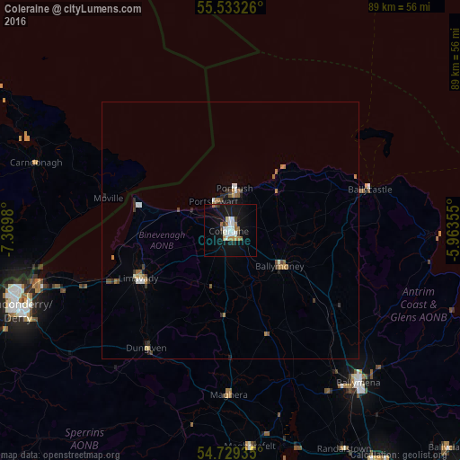
Analysis of Coleraine night lights 2016
Square area 10x10 km:
 3.38%
3.38%90-99
3.63%80-89
0.5%70-79
1.63%60-69
3.26%50-59
0.88%40-49
0.63%30-39
1.88%20-29
0.5%10-19
25.19%0-9
58.52%Square area 50x50 km:
0.23%90-99
0.25%80-89
0.09%70-79
0.18%60-69
0.43%50-59
0.19%40-49
0.27%30-39
0.23%20-29
0.26%10-19
1.28%0-9
96.58%Clear (daylight) street map image can be seen on geolist.org.
Map coordinates:
55° 31' 59.7" North, 7° 22' 11.3" West
55° 7' 60" North, 6° 40' 0" West
54° 43' 45.7" North, 5° 57' 48.8" West
Some cities around Coleraine sort by population:
• Derry
43.6 km =27.1 mi,  249°
249°
• Ballymena
39 km =24.2 mi,  140°
140°
• Limavady
20.3 km =12.6 mi,  242°
242°
• Ballymoney
12.1 km =7.5 mi,  124°
124°
• Magherafelt
42.4 km =26.3 mi,  174°
174°
• Portstewart
6.1 km =3.8 mi,  330°
330°
• Portrush
7 km =4.3 mi,  9°
9°
• Ballycastle
28 km =17.4 mi,  73°
73°
2652586 (p: 25,681)
Sources (retrieved 2019-11-25):
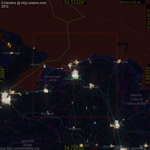
» Earth at Night: Flat Maps 2012, 2016