Ballycastle night lights from space
Night Light of Ballycastle (Northern Ireland) from space (United Kingdom) Src. Average luminocity for 10x10km area is 2.4085% and for 50x50km: 0.4549%.
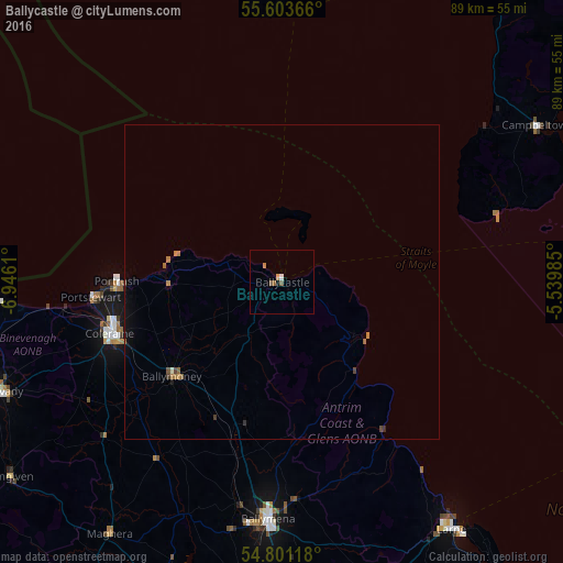
Analysis of Ballycastle night lights 2016
Square area 10x10 km:
 0.25%
0.25%90-99
0.25%80-89
0%70-79
0.63%60-69
0.63%50-59
1.25%40-49
0%30-39
0%20-29
0%10-19
0.5%0-9
96.49%Square area 50x50 km:
0.01%90-99
0.03%80-89
0%70-79
0.07%60-69
0.16%50-59
0.12%40-49
0.09%30-39
0.05%20-29
0.04%10-19
0.23%0-9
99.21%Clear (daylight) street map image can be seen on geolist.org.
Map coordinates:
55° 36' 13.2" North, 6° 56' 46" West
55° 12' 16" North, 6° 14' 34.7" West
54° 48' 4.2" North, 5° 32' 23.5" West
Some cities around Ballycastle sort by population:
• Coleraine
28 km =17.4 mi,  253°
253°
• Antrim
56.2 km =34.9 mi,  177°
177°
• Larne
47.9 km =29.8 mi,  145°
145°
• Limavady
48.1 km =29.9 mi, 249°
• Magherafelt
55.2 km =34.3 mi,  204°
204°
• Portstewart
30 km =18.6 mi,  265°
265°
• Portrush
25.8 km =16 mi, 267°
• Randalstown
50.7 km =31.5 mi, 184°
2656531 (p: 5,566)
Sources (retrieved 2019-11-25):
» Earth at Night: Flat Maps 2012, 2016