Bearsden night lights from space
Night Light of Bearsden (Scotland) from space (United Kingdom) Src. Average luminocity for 10x10km area is 68.4486% and for 50x50km: 27.8488%.
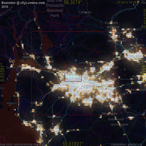
Analysis of Bearsden night lights 2016
Square area 10x10 km:
 31.95%
90-99
15.66%80-89
3.63%70-79
4.89%60-69
4.89%50-59
3.01%40-49
5.39%30-39
8.52%20-29
13.03%10-19
8.9%0-9
0.13%Square area 50x50 km:
8.05%90-99
7.23%80-89
1.98%70-79
2.69%60-69
2.76%50-59
2.43%40-49
2.7%30-39
3.51%20-29
5.37%10-19
10.3%0-9
52.96%Clear (daylight) street map image can be seen on geolist.org.
Map coordinates:
56° 18' 26.6" North, 5° 2' 9.3" West
55° 54' 55.3" North, 4° 19' 58" West
55° 31' 9.5" North, 3° 37' 46.8" West
Some cities around Bearsden sort by population:
• Glasgow
7.3 km =4.5 mi,  139°
139°
• Clydebank
4.8 km =3 mi,  251°
251°
• Bishopbriggs
7.2 km =4.5 mi,  97°
97°
• Renfrew
6.1 km =3.8 mi,  217°
217°
• Erskine
7.5 km =4.7 mi,  257°
257°
• Milngavie
2.9 km =1.8 mi,  12°
12°
• Duntocher
5.2 km =3.2 mi,  281°
281°
• Faifley
3.6 km =2.2 mi,  294°
294°
2656086 (p: 27,340)
Sources (retrieved 2019-11-25):
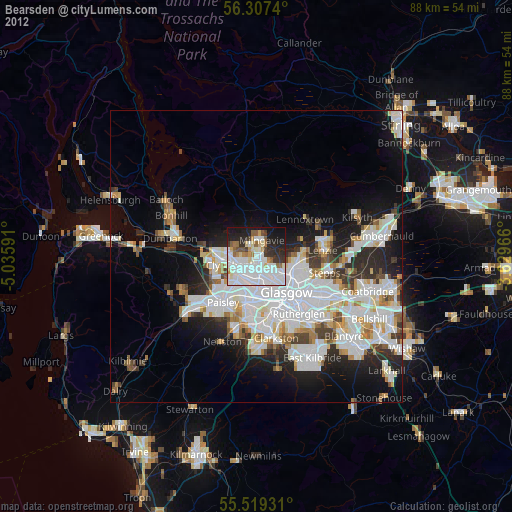
» Earth at Night: Flat Maps 2012, 2016