Caterham night lights from space
Night Light of Caterham (England) from space (United Kingdom) Src. Average luminocity for 10x10km area is 34.1373% and for 50x50km: 40.5311%.
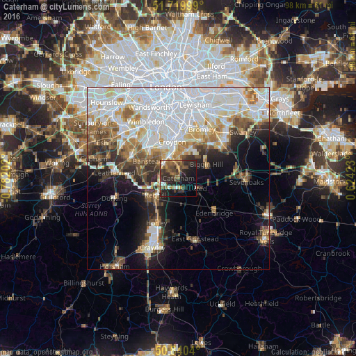
Analysis of Caterham night lights 2016
Square area 10x10 km:
 2.66%
2.66%90-99
2.1%80-89
2.1%70-79
3.64%60-69
7.42%50-59
8.12%40-49
10.78%30-39
7.98%20-29
17.79%10-19
21.43%0-9
15.97%Square area 50x50 km:
14.5%90-99
9.22%80-89
3.8%70-79
3.62%60-69
4.1%50-59
4.05%40-49
4%30-39
3.64%20-29
5.23%10-19
8.39%0-9
39.45%Clear (daylight) street map image can be seen on geolist.org.
Map coordinates:
51° 43' 12" North, 0° 46' 55.3" West
51° 16' 56.3" North, 0° 4' 44" West
50° 50' 25.4" North, 0° 37' 27.2" East
Some cities around Caterham sort by population:
• Purley
6.5 km =4 mi,  339°
339°
• South Croydon
8.9 km =5.5 mi,  353°
353°
• Redhill
7.9 km =4.9 mi,  233°
233°
• Banstead
9.9 km =6.2 mi,  296°
296°
• Coulsdon
6 km =3.7 mi,  314°
314°
• Biggin Hill
8.6 km =5.3 mi,  66°
66°
• Oxted
5.8 km =3.6 mi,  119°
119°
• Warlingham
3.4 km =2.1 mi,  25°
25°
2653520 (p: 20,957)
Sources (retrieved 2019-11-25):
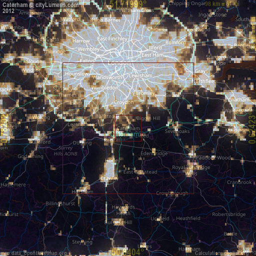
» Earth at Night: Flat Maps 2012, 2016