Bletchley night lights from space
Night Light of Bletchley (England) from space (United Kingdom) Src. Average luminocity for 10x10km area is 57.7588% and for 50x50km: 15.7221%.
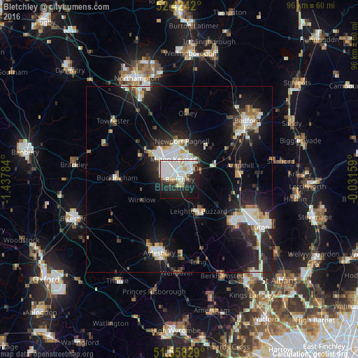
Analysis of Bletchley night lights 2016
Square area 10x10 km:
 25.13%
90-99
14.77%80-89
6.44%70-79
1.89%60-69
0.88%50-59
2.4%40-49
2.15%30-39
4.29%20-29
15.53%10-19
22.1%0-9
4.42%Square area 50x50 km:
3.25%90-99
3.31%80-89
1.52%70-79
1.32%60-69
1.18%50-59
0.97%40-49
1.52%30-39
1.96%20-29
5.8%10-19
12.01%0-9
67.17%Clear (daylight) street map image can be seen on geolist.org.
Map coordinates:
52° 25' 27.1" North, 1° 26' 16.2" West
51° 59' 36" North, 0° 44' 5" West
51° 33' 29.8" North, 0° 1' 53.7" West
Some cities around Bletchley sort by population:
• Milton Keynes
5.6 km =3.5 mi,  344°
344°
• Leighton Buzzard
10 km =6.2 mi,  148°
148°
• Ampthill
16.8 km =10.4 mi,  77°
77°
• Newport Pagnell
10.5 km =6.5 mi,  4°
4°
• Flitwick
16.5 km =10.3 mi,  86°
86°
• Water Eaton
1.1 km =0.7 mi,  128°
128°
• Cranfield
12 km =7.5 mi,  45°
45°
• Woburn Sands
6.3 km =3.9 mi,  66°
66°
2655351 (p: 50,193)
Sources (retrieved 2019-11-25):
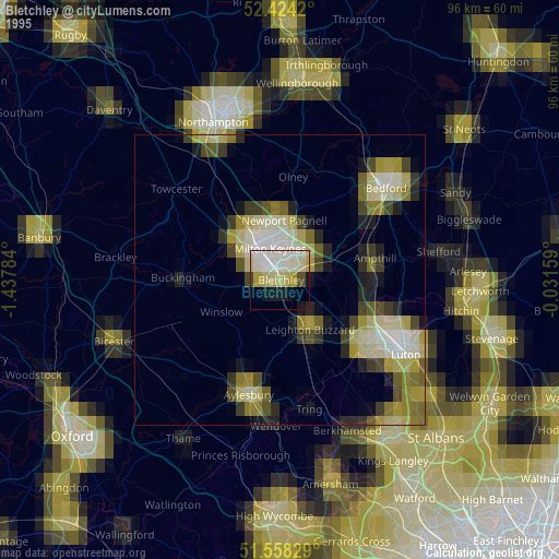
» NASA, Earths city lights 1995
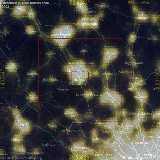
» NASA city lights 2003
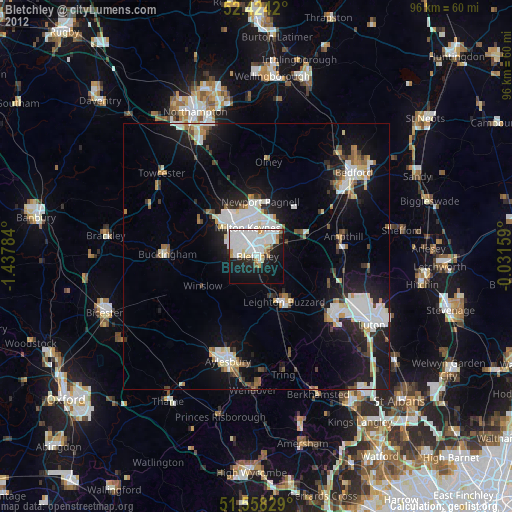
» Earth at Night: Flat Maps 2012, 2016