Barrow in Furness night lights from space
Night Light of Barrow in Furness (England) from space (United Kingdom) Src. Average luminocity for 10x10km area is 24.3662% and for 50x50km: 2.9481%.
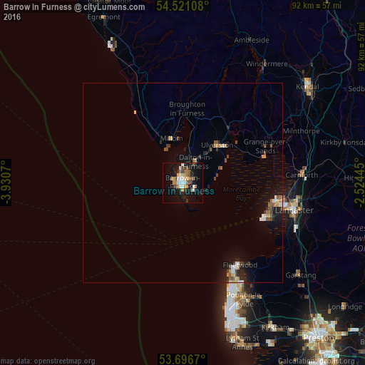
Analysis of Barrow in Furness night lights 2016
Square area 10x10 km:
 3.03%
3.03%90-99
3.91%80-89
1.64%70-79
3.41%60-69
3.79%50-59
3.79%40-49
4.29%30-39
1.26%20-29
3.41%10-19
28.54%0-9
42.93%Square area 50x50 km:
0.28%90-99
0.4%80-89
0.18%70-79
0.46%60-69
0.37%50-59
0.47%40-49
0.53%30-39
0.24%20-29
0.63%10-19
2.89%0-9
93.55%Clear (daylight) street map image can be seen on geolist.org.
Map coordinates:
54° 31' 15.9" North, 3° 55' 50.5" West
54° 6' 39.4" North, 3° 13' 39.3" West
53° 41' 48.1" North, 2° 31' 28" West
Some cities around Barrow in Furness sort by population:
• Morecambe
24.4 km =15.2 mi,  101°
101°
• Fleetwood
25 km =15.5 mi,  145°
145°
• Heysham
23.1 km =14.4 mi,  108°
108°
• Ulverston
12.7 km =7.9 mi,  42°
42°
• Dalton in Furness
6.1 km =3.8 mi,  30°
30°
• Bolton le Sands
27.9 km =17.3 mi,  93°
93°
• Millom
11.5 km =7.1 mi,  345°
345°
• Preesall
27.4 km =17 mi,  141°
141°
2656241 (p: 45,865)
Sources (retrieved 2019-11-25):
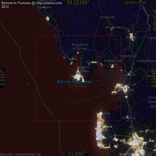
» Earth at Night: Flat Maps 2012, 2016