Balerno night lights from space
Night Light of Balerno (Scotland) from space (United Kingdom) Src. Average luminocity for 10x10km area is 23.084% and for 50x50km: 18.9068%.
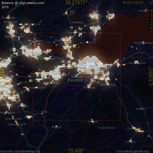
Analysis of Balerno night lights 2016
Square area 10x10 km:
 3.76%
3.76%90-99
3.88%80-89
1.63%70-79
2.76%60-69
2.01%50-59
0.88%40-49
3.51%30-39
1.75%20-29
13.91%10-19
23.81%0-9
42.11%Square area 50x50 km:
4.17%90-99
4.36%80-89
1.58%70-79
1.59%60-69
1.61%50-59
1.55%40-49
1.5%30-39
2.4%20-29
7.95%10-19
13.19%0-9
60.11%Clear (daylight) street map image can be seen on geolist.org.
Map coordinates:
56° 16' 36.2" North, 4° 2' 34.4" West
55° 53' 3.7" North, 3° 20' 23.1" West
55° 29' 16.8" North, 2° 38' 11.9" West
Some cities around Balerno sort by population:
• Edinburgh
11.7 km =7.3 mi,  49°
49°
• Livingston
11.6 km =7.2 mi,  280°
280°
• Penicuik
9.2 km =5.7 mi,  129°
129°
• Broxburn
9.9 km =6.2 mi,  304°
304°
• Queensferry
12.4 km =7.7 mi,  342°
342°
• Colinton
5.8 km =3.6 mi,  63°
63°
• Currie
2.4 km =1.5 mi, 55°
• Loanhead
11.3 km =7 mi,  92°
92°
2656586 (p: 6,000)
Sources (retrieved 2019-11-25):
» Earth at Night: Flat Maps 2012, 2016