Villenave-d’Ornon night lights from space
Night Light of Villenave-d’Ornon (Nouvelle-Aquitaine) from space (France) Src. Average luminocity for 10x10km area is 65.9591% and for 50x50km: 26.3429%.
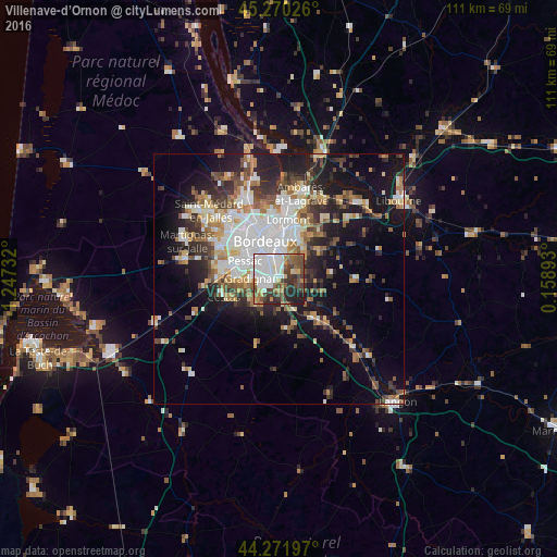
Analysis of Villenave-d’Ornon night lights 2016
Square area 10x10 km:
 24.7%
24.7%90-99
11.67%80-89
5.61%70-79
6.52%60-69
4.24%50-59
9.24%40-49
11.97%30-39
10%20-29
11.67%10-19
4.39%0-9
0%Square area 50x50 km:
5.93%90-99
4.82%80-89
2.64%70-79
2.52%60-69
3.53%50-59
3.31%40-49
3.63%30-39
3.84%20-29
6.06%10-19
13.57%0-9
50.13%Clear (daylight) street map image can be seen on geolist.org.
Map coordinates:
45° 16' 12.9" North, 1° 14' 50.4" West
44° 46' 23.8" North, 0° 32' 39.1" West
44° 16' 19.1" North, 0° 9' 32.1" East
Some cities around Villenave-d’Ornon sort by population:
• Bordeaux
8 km =5 mi,  339°
339°
• Pessac
8.7 km =5.4 mi,  298°
298°
• Talence
5.3 km =3.3 mi,  310°
310°
• Gradignan
5.5 km =3.4 mi,  269°
269°
• Bègles
3.9 km =2.4 mi,  355°
355°
• Floirac
7 km =4.3 mi,  19°
19°
• Léognan
5.9 km =3.7 mi,  224°
224°
• Canéjan
7.1 km =4.4 mi,  264°
264°
2968620 (p: 30,347)
Sources (retrieved 2019-11-25):
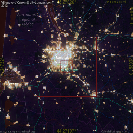
» Earth at Night: Flat Maps 2012, 2016