Pessac night lights from space
Night Light of Pessac (Nouvelle-Aquitaine) from space (France) Src. Average luminocity for 10x10km area is 93.6048% and for 50x50km: 26.4819%.
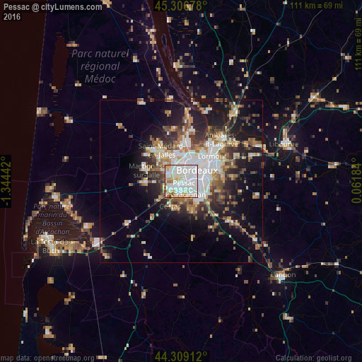

Analysis of Pessac night lights 2016
Square area 10x10 km:
 49.68%
90-99
28.1%80-89
6.67%70-79
10.63%60-69
3.81%50-59
0.32%40-49
0.48%30-39
0.32%20-29
0%10-19
0%0-9
0%Square area 50x50 km:
5.94%90-99
4.9%80-89
2.73%70-79
2.67%60-69
3.58%50-59
3.25%40-49
3.62%30-39
3.68%20-29
6%10-19
13.71%0-9
49.91%Clear (daylight) street map image can be seen on geolist.org.
Map coordinates:
45° 18' 24.4" North, 1° 20' 39.9" West
44° 48' 36.4" North, 0° 38' 28.6" West
44° 18' 32.8" North, 0° 3' 42.6" East
Some cities around Pessac sort by population:
• Bordeaux
5.9 km =3.7 mi,  54°
54°
• Mérignac
2.6 km =1.6 mi,  13°
13°
• Talence
3.7 km =2.3 mi,  99°
99°
• Gradignan
4.7 km =2.9 mi,  152°
152°
• Le Bouscat
7.2 km =4.5 mi,  30°
30°
• Bègles
7.4 km =4.6 mi,  91°
91°
• Le Haillan
7.5 km =4.7 mi,  336°
336°
• Canéjan
4.9 km =3 mi,  172°
172°
2987805 (p: 57,944)
Sources (retrieved 2019-11-25):
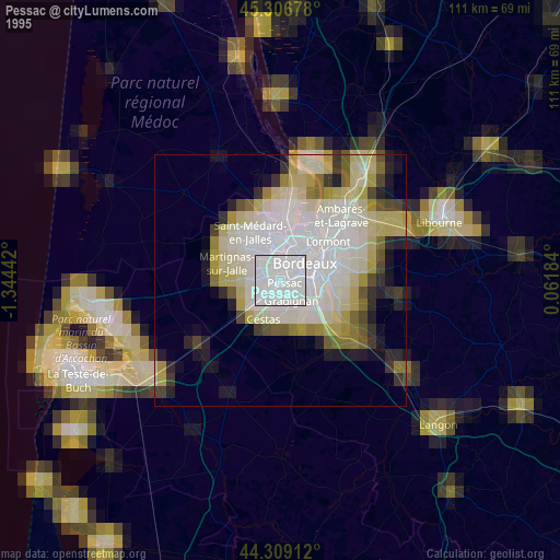
» NASA, Earths city lights 1995
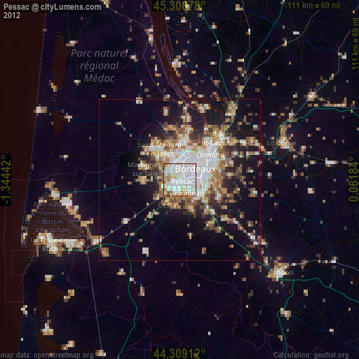
» NASA city lights 2003
» Earth at Night: Flat Maps 2012, 2016