Valence night lights from space
Night Light of Valence (Auvergne-Rhône-Alpes) from space (France) Src. Average luminocity for 10x10km area is 66.046% and for 50x50km: 11.0181%.
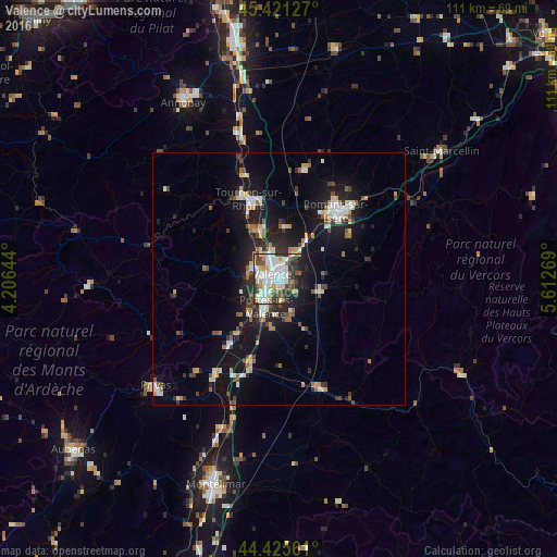


Analysis of Valence night lights 2016
Square area 10x10 km:
 18.89%
90-99
21.11%80-89
6.35%70-79
4.13%60-69
5.4%50-59
6.67%40-49
9.05%30-39
10%20-29
9.52%10-19
8.89%0-9
0%Square area 50x50 km:
1.46%90-99
2.22%80-89
0.97%70-79
1.11%60-69
1.17%50-59
1.21%40-49
1.55%30-39
1.43%20-29
3.07%10-19
9.76%0-9
76.07%Clear (daylight) street map image can be seen on geolist.org.
Map coordinates:
45° 25' 16.6" North, 4° 12' 23.2" East
44° 55' 32.2" North, 4° 54' 34.4" East
44° 25' 32.2" North, 5° 36' 45.7" East
Some cities around Valence sort by population:
• Bourg-lès-Valence
2.7 km =1.7 mi,  333°
333°
• Guilherand-Granges
2.9 km =1.8 mi,  285°
285°
• Tournon-sur-Rhône
16.8 km =10.4 mi,  339°
339°
• Bourg-de-Péage
16.1 km =10 mi,  43°
43°
• Portes-lès-Valence
6.2 km =3.9 mi,  206°
206°
• Saint-Péray
5.7 km =3.5 mi,  296°
296°
• Chabeuil
8.8 km =5.5 mi,  110°
110°
• Tain-l’Hermitage
16.2 km =10.1 mi, 344°
2971053 (p: 63,864)
Sources (retrieved 2019-11-25):
» NASA, Earths city lights 1995
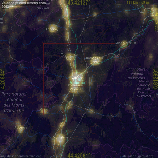
» NASA city lights 2003
» Earth at Night: Flat Maps 2012, 2016