Chabeuil night lights from space
Night Light of Chabeuil (Auvergne-Rhône-Alpes) from space (France) Src. Average luminocity for 10x10km area is 10.8857% and for 50x50km: 10.6355%.
Analysis of Chabeuil night lights 2016
Square area 10x10 km:
 0.48%
0.48%90-99
0.16%80-89
1.27%70-79
1.11%60-69
0.16%50-59
3.02%40-49
1.27%30-39
2.22%20-29
4.92%10-19
15.56%0-9
69.84%Square area 50x50 km:
1.44%90-99
2.05%80-89
0.95%70-79
1.03%60-69
1.19%50-59
1.24%40-49
1.46%30-39
1.3%20-29
3.01%10-19
9.77%0-9
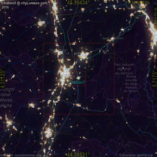
76.56%Clear (daylight) street map image can be seen on geolist.org.
Map coordinates:
45° 23' 39.6" North, 4° 18' 40.5" East
44° 53' 54.3" North, 5° 0' 51.8" East
44° 23' 53.6" North, 5° 43' 3" East
Some cities around Chabeuil sort by population:
• Valence
8.8 km =5.5 mi,  290°
290°
• Romans-sur-Isère
17.3 km =10.7 mi,  13°
13°
• Bourg-lès-Valence
10.9 km =6.8 mi,  299°
299°
• Guilherand-Granges
11.7 km =7.3 mi, 289°
• Bourg-de-Péage
15.1 km =9.4 mi, 10°
• Portes-lès-Valence
11.3 km =7 mi,  257°
257°
• Crest
19.1 km =11.9 mi,  179°
179°
• Saint-Péray
14.5 km =9 mi, 292°
3027705 (p: 6,302)
Sources (retrieved 2019-11-25):
» Earth at Night: Flat Maps 2012, 2016