Thouars night lights from space
Night Light of Thouars (Nouvelle-Aquitaine) from space (France) Src. Average luminocity for 10x10km area is 12.7401% and for 50x50km: 1.2552%.
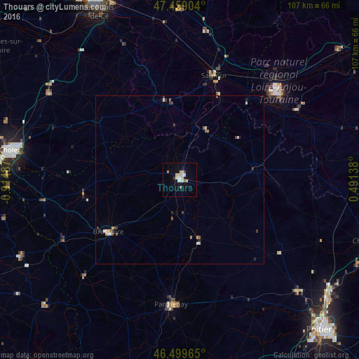
Analysis of Thouars night lights 2016
Square area 10x10 km:
 1.7%
1.7%90-99
2.13%80-89
3.84%70-79
0.85%60-69
1.7%50-59
0%40-49
0.28%30-39
0.85%20-29
0.28%10-19
3.55%0-9
84.8%Square area 50x50 km:
0.16%90-99
0.23%80-89
0.17%70-79
0.12%60-69
0.14%50-59
0.19%40-49
0.13%30-39
0.18%20-29
0.16%10-19
0.18%0-9
98.34%Clear (daylight) street map image can be seen on geolist.org.
Map coordinates:
47° 27' 32.5" North, 0° 54' 53.5" West
46° 58' 53.4" North, 0° 12' 42.3" West
46° 29' 58.7" North, 0° 29' 29" East
Some cities around Thouars sort by population:
• Saumur
32.5 km =20.2 mi,  18°
18°
• Bressuire
26.3 km =16.3 mi,  233°
233°
• Parthenay
37.1 km =23.1 mi,  184°
184°
• Chinon
40.1 km =24.9 mi,  59°
59°
• Loudun
22.5 km =14 mi,  82°
82°
• Doué-la-Fontaine
24.1 km =15 mi,  348°
348°
• Chemillé-Melay
46.7 km =29 mi,  303°
303°
• Nueil-les-Aubiers
28.7 km =17.8 mi,  259°
259°
2972695 (p: 11,517)
Sources (retrieved 2019-11-25):
» Earth at Night: Flat Maps 2012, 2016