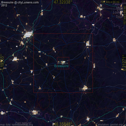
Bressuire night lights from space
Night Light of Bressuire (Nouvelle-Aquitaine) from space (France) Src. Average luminocity for 10x10km area is 7.2158% and for 50x50km: 1.7302%.
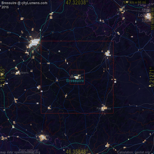
Analysis of Bressuire night lights 2016
Square area 10x10 km:
 0.89%
0.89%90-99
1.49%80-89
0.3%70-79
1.49%60-69
0.6%50-59
1.49%40-49
1.04%30-39
1.04%20-29
0.6%10-19
0%0-9
91.07%Square area 50x50 km:
0.17%90-99
0.25%80-89
0.21%70-79
0.24%60-69
0.28%50-59
0.25%40-49
0.27%30-39
0.19%20-29
0.28%10-19
0.24%0-9
97.62%Clear (daylight) street map image can be seen on geolist.org.
Map coordinates:
47° 19' 13.4" North, 1° 11' 36.8" West
46° 50' 29.7" North, 0° 29' 25.5" West
46° 21' 30.5" North, 0° 12' 45.8" East
Some cities around Bressuire sort by population:
• Cholet
38.2 km =23.7 mi,  309°
309°
• Les Herbiers
40.1 km =24.9 mi,  273°
273°
• Parthenay
28.4 km =17.6 mi,  139°
139°
• Thouars
26.3 km =16.3 mi,  53°
53°
• Doué-la-Fontaine
42.4 km =26.3 mi,  22°
22°
• Mortagne-sur-Sèvre
38.5 km =23.9 mi,  295°
295°
• Pouzauges
27.2 km =16.9 mi,  255°
255°
• Nueil-les-Aubiers
12.4 km =7.7 mi,  325°
325°
3030303 (p: 20,743)
Sources (retrieved 2019-11-25):
» Earth at Night: Flat Maps 2012, 2016