Sarreguemines night lights from space
Night Light of Sarreguemines (Grand Est) from space (France) Src. Average luminocity for 10x10km area is 38.1218% and for 50x50km: 17.359%.
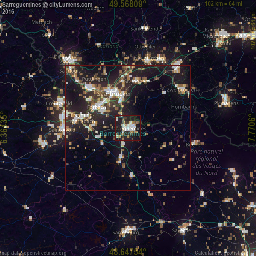
Analysis of Sarreguemines night lights 2016
Square area 10x10 km:
 7.56%
7.56%90-99
7%80-89
2.8%70-79
3.92%60-69
4.76%50-59
2.66%40-49
4.76%30-39
5.18%20-29
17.23%10-19
37.96%0-9
6.16%Square area 50x50 km:
2.38%90-99
2.65%80-89
1.37%70-79
1.7%60-69
2.02%50-59
2.12%40-49
2.57%30-39
3.29%20-29
7.6%10-19
16.5%0-9
57.8%Clear (daylight) street map image can be seen on geolist.org.
Map coordinates:
49° 34' 5.1" North, 6° 21' 51.7" East
49° 6' 35.8" North, 7° 4' 2.9" East
48° 38' 51.1" North, 7° 46' 14.2" East
Some cities around Sarreguemines sort by population:
• Saarbrücken, DE
14.3 km =8.9 mi,  342°
342°
• Sankt Ingbert, DE
18.9 km =11.7 mi,  10°
10°
• Forbach
15.4 km =9.6 mi,  304°
304°
• Stiring-Wendel
14.2 km =8.8 mi,  316°
316°
• Kleinblittersdorf, DE
5.8 km =3.6 mi, 337°
• Behren-lès-Forbach
11.4 km =7.1 mi,  305°
305°
• Gersheim, DE
10.6 km =6.6 mi,  65°
65°
• Farébersviller
14.5 km =9 mi,  273°
273°
2975964 (p: 24,446)
Sources (retrieved 2019-11-25):
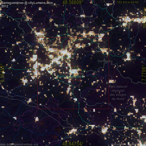
» Earth at Night: Flat Maps 2012, 2016