Forbach night lights from space
Night Light of Forbach (Grand Est) from space (France) Src. Average luminocity for 10x10km area is 53.0294% and for 50x50km: 21.0998%.
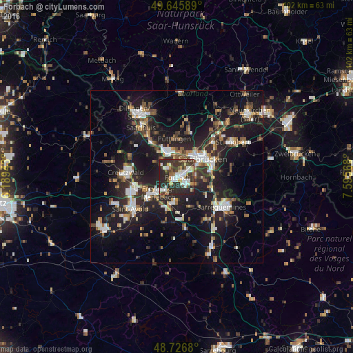
Analysis of Forbach night lights 2016
Square area 10x10 km:
 10.5%
10.5%90-99
12.75%80-89
4.48%70-79
5.18%60-69
3.78%50-59
5.04%40-49
8.12%30-39
18.07%20-29
29.41%10-19
2.66%0-9
0%Square area 50x50 km:
3.15%90-99
3.37%80-89
1.46%70-79
1.92%60-69
2.46%50-59
2.7%40-49
3.16%30-39
3.81%20-29
8.72%10-19
20.46%0-9
48.78%Clear (daylight) street map image can be seen on geolist.org.
Map coordinates:
49° 38' 45.2" North, 6° 11' 21.9" East
49° 11' 18.5" North, 6° 53' 33.2" East
48° 43' 36.5" North, 7° 35' 44.4" East
Some cities around Forbach sort by population:
• Völklingen, DE
7.4 km =4.6 mi,  340°
340°
• Freyming-Merlebach
9 km =5.6 mi,  241°
241°
• Stiring-Wendel
3.2 km =2 mi,  62°
62°
• Behren-lès-Forbach
4 km =2.5 mi,  121°
121°
• Großrosseln, DE
4 km =2.5 mi,  293°
293°
• Farébersviller
7.9 km =4.9 mi,  192°
192°
• Petite-Rosselle
3.7 km =2.3 mi,  314°
314°
• Ludweiler-Warndt, DE
6.9 km =4.3 mi,  301°
301°
3017805 (p: 21,358)
Sources (retrieved 2019-11-25):
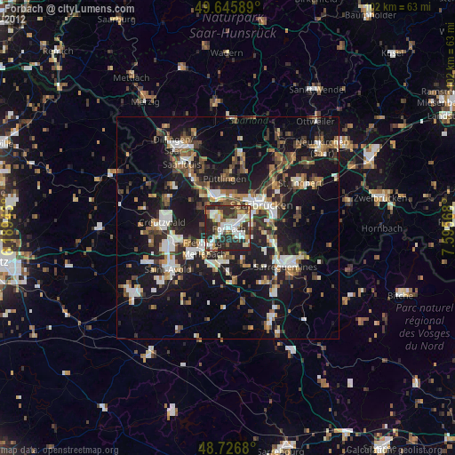
» Earth at Night: Flat Maps 2012, 2016