Saint-Pierre-du-Mont night lights from space
Night Light of Saint-Pierre-du-Mont (Nouvelle-Aquitaine) from space (France) Src. Average luminocity for 10x10km area is 25.6206% and for 50x50km: 2.513%.
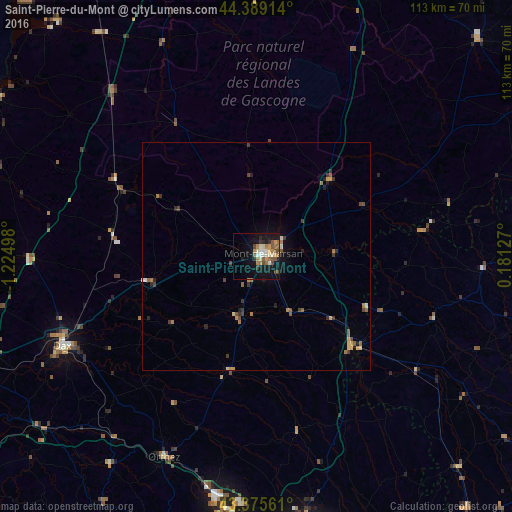
Analysis of Saint-Pierre-du-Mont night lights 2016
Square area 10x10 km:
 2.38%
2.38%90-99
4.76%80-89
2.22%70-79
4.13%60-69
4.76%50-59
4.13%40-49
4.6%30-39
1.43%20-29
3.17%10-19
26.67%0-9
41.75%Square area 50x50 km:
0.13%90-99
0.25%80-89
0.22%70-79
0.39%60-69
0.57%50-59
0.42%40-49
0.5%30-39
0.48%20-29
0.43%10-19
1.5%0-9
95.12%Clear (daylight) street map image can be seen on geolist.org.
Map coordinates:
44° 23' 20.9" North, 1° 13' 29.9" West
43° 53' 4.3" North, 0° 31' 18.7" West
43° 22' 32.2" North, 0° 10' 52.6" East
Some cities around Saint-Pierre-du-Mont sort by population:
• Mont-de-Marsan
2.1 km =1.3 mi,  72°
72°
• Dax
46.9 km =29.1 mi,  245°
245°
• Lons
63.9 km =39.7 mi,  171°
171°
• Orthez
48.4 km =30.1 mi,  204°
204°
• Lescar
61.9 km =38.5 mi, 172°
• Mourenx
56.1 km =34.9 mi,  186°
186°
• Salies-de-Béarn
55.9 km =34.7 mi,  215°
215°
• Bazas
65.7 km =40.8 mi,  22°
22°
2977462 (p: 7,660)
Sources (retrieved 2019-11-25):
» Earth at Night: Flat Maps 2012, 2016