Dax night lights from space
Night Light of Dax (Nouvelle-Aquitaine) from space (France) Src. Average luminocity for 10x10km area is 21.1197% and for 50x50km: 2.8949%.
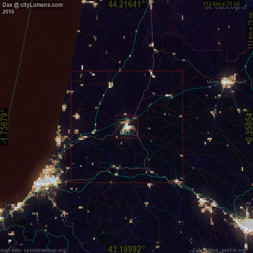
Analysis of Dax night lights 2016
Square area 10x10 km:
 1.52%
1.52%90-99
2.58%80-89
2.12%70-79
2.88%60-69
3.94%50-59
3.03%40-49
5.3%30-39
2.12%20-29
2.88%10-19
20%0-9
53.64%Square area 50x50 km:
0.1%90-99
0.4%80-89
0.19%70-79
0.33%60-69
0.66%50-59
0.58%40-49
0.57%30-39
0.43%20-29
0.64%10-19
1.09%0-9
95%Clear (daylight) street map image can be seen on geolist.org.
Map coordinates:
44° 12' 59.1" North, 1° 45' 24.4" West
43° 42' 37.2" North, 1° 3' 13.2" West
43° 11' 59.7" North, 0° 21' 1.9" West
Some cities around Dax sort by population:
• Orthez
33.5 km =20.8 mi,  137°
137°
• Saint-Paul-lès-Dax
1.9 km =1.2 mi,  5°
5°
• Tarnos
37.9 km =23.5 mi,  240°
240°
• Boucau
38.9 km =24.2 mi, 238°
• Capbreton
31.1 km =19.3 mi,  255°
255°
• Soustons
22.5 km =14 mi,  282°
282°
• Saint-Vincent-de-Tyrosse
21.2 km =13.2 mi,  254°
254°
• Salies-de-Béarn
28.2 km =17.5 mi,  158°
158°
3021670 (p: 22,305)
Sources (retrieved 2019-11-25):
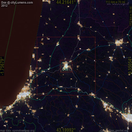
» Earth at Night: Flat Maps 2012, 2016