Saint-Jean-de-Maurienne night lights from space
Night Light of Saint-Jean-de-Maurienne (Auvergne-Rhône-Alpes) from space (France) Src. Average luminocity for 10x10km area is 15.9317% and for 50x50km: 3.4911%.
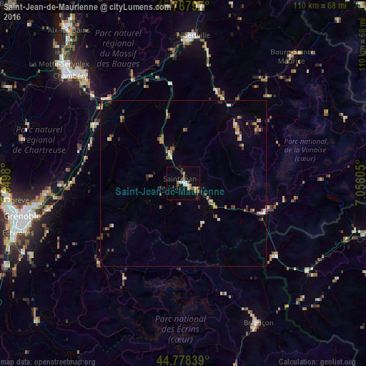
Analysis of Saint-Jean-de-Maurienne night lights 2016
Square area 10x10 km:
 2.22%
2.22%90-99
2.06%80-89
2.06%70-79
1.27%60-69
2.22%50-59
2.86%40-49
2.54%30-39
0.48%20-29
1.59%10-19
6.98%0-9
75.71%Square area 50x50 km:
0.18%90-99
0.54%80-89
0.32%70-79
0.42%60-69
0.55%50-59
0.58%40-49
0.58%30-39
0.33%20-29
0.56%10-19
0.83%0-9
95.12%Clear (daylight) street map image can be seen on geolist.org.
Map coordinates:
45° 46' 4.7" North, 5° 38' 59.3" East
45° 16' 31.2" North, 6° 21' 10.5" East
44° 46' 42.2" North, 7° 3' 21.8" East
Some cities around Saint-Jean-de-Maurienne sort by population:
• Albertville
44.5 km =27.7 mi,  3°
3°
• Crolles
37.1 km =23.1 mi,  270°
270°
• Villard-Bonnot
37 km =23 mi,  262°
262°
• Pontcharra
31.7 km =19.7 mi,  304°
304°
• Domène
41.5 km =25.8 mi, 258°
• La Ravoire
44.4 km =27.6 mi,  316°
316°
• Gières
45.4 km =28.2 mi, 256°
• Barberaz
45.1 km =28 mi,  314°
314°
2979303 (p: 9,536)
Sources (retrieved 2019-11-25):
» Earth at Night: Flat Maps 2012, 2016